 |
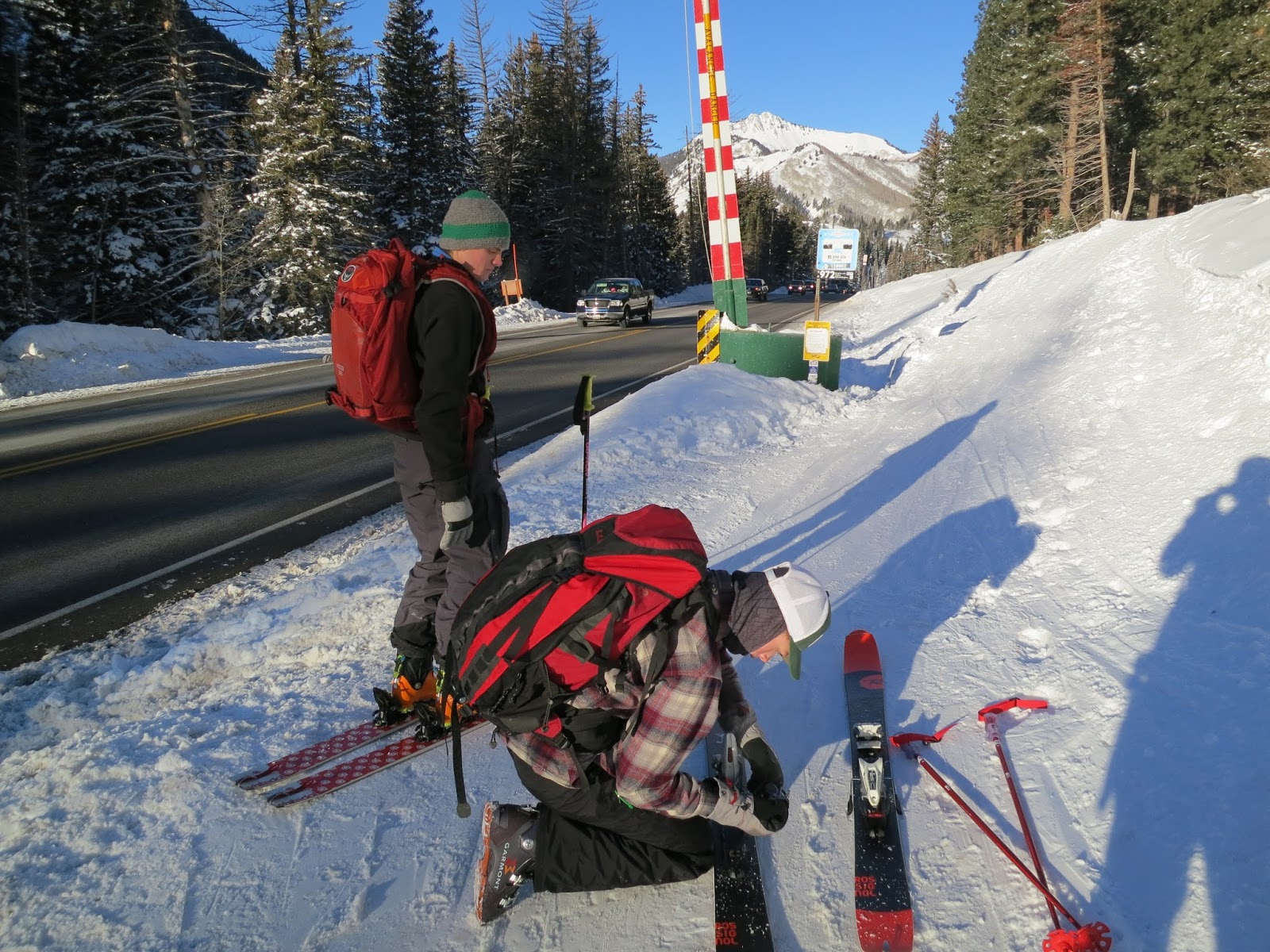
| Jonah adjusting bindings as the cars fly up the highway towards Solitude and Brighton. We went to Wasangles to look for powder and found that most everything was either skied out or wind-blasted. Welcome to Wa Wa Land. |
 |
| Avalanche danger on Mt. Raymond. |
 |
| It's a good snow year when the sign is covered. We're getting there. |
 |
| View south from the entrance to Powder Park: Days Fork in middle, Cardiff (Cardiac Bowl) mid-right partially hidden by the trees. |
 |
| Zoomed, Days and Cardiff Forks. |
 |
| Mt. Raymond and Gobblers Knob. |
 |
| Nearing the Park City Divide in upper Powder Park. |
 |
| Must-get-air! |
 |
| Canyons/Park City Ski Resort. |
 |
| Jackson and Jonah above Desolation Lake |
 |
| Not sure what is it. . . |
 |
| . . . but he better not pee beyond that sign. |
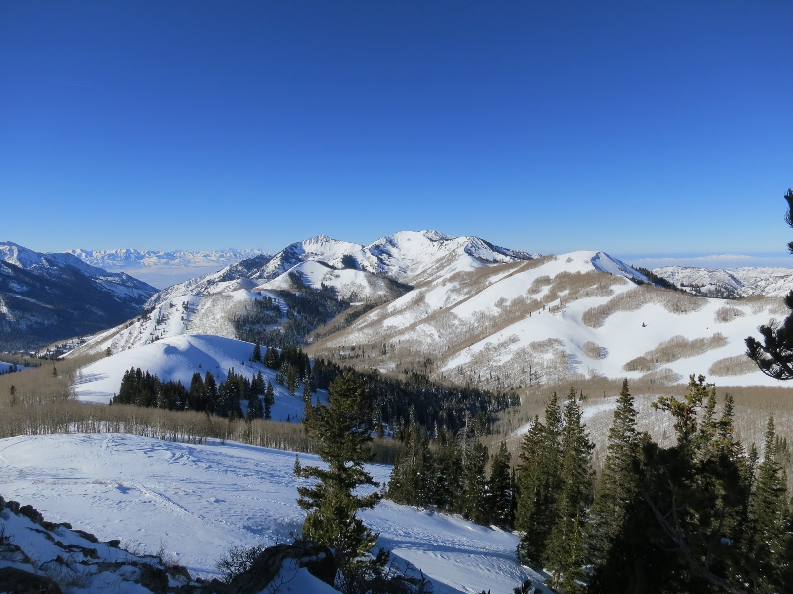 |
| From the top of Powder Park, view west. Mt. Raymond and Gobblers Knob are the high points in the middle. |
 |
| Jonah and Jackson looking towards Powder Park Three and West Desolation Ridgeline (above Beartrap Fork). |
 |
| Wasangeles. efficient ski tracks on the shoulder just above (SW) of Desolation Lake. |
 |
| It was tough, everything is skied out or wind-blasted, but we found some creamy, soft turns down in the trees. |
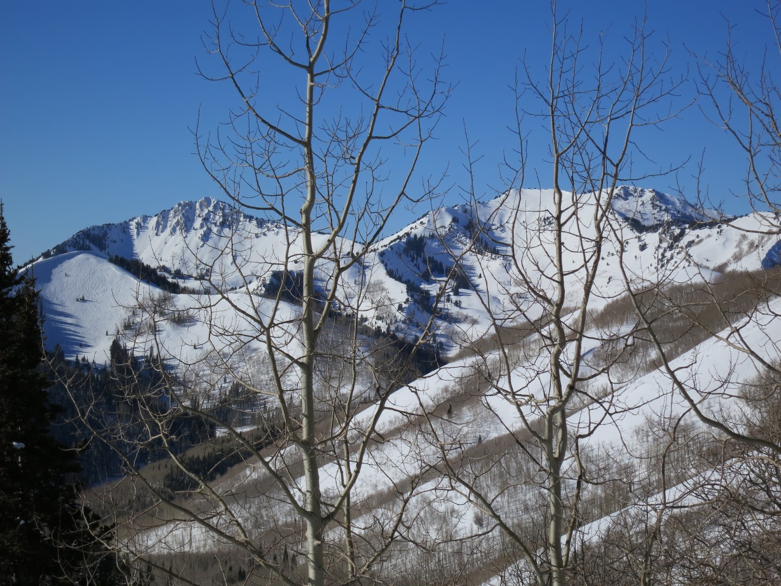 |
| The east face of Reynolds Peak ((open face mid-left), Mt. Raymond (high point on left) and Gobblers Knob (high point on right). |
 |
| Jackson re-skinning. |
 |
| The lonely (mostly anyway) northern Wasatch: l-r Bountiful Ridge, Grandview Peak (pointy), Bountiful Peak, Frances Peak, Thurston Peak, Mt. Ogden and Ben Lomand. |
No comments:
Post a Comment