|
| Upper Henry's Fork with Kings Peak on the right (almost hidden by trees) and Gunsight Pass just out of view on the far left (eclipsed by the flanks of Gilbert Peak). |
One of the most beautiful places on earth is the high Uintah Mountains of Utah, particularly upper Henry's Fork (as in Henrys Fork of the Green River). We (Varsity Scouts of the Sterling Heights Ward) did a quick hit on Kings Peak by hiking to Dollar Lake (7.7 miles) sleeping the night, then up early for a sprint up Kings (11 miles r.t. from Dollar Lake) before the afternoon thunderstorms blew in. While descending Kings we debated about sleeping another night at Dollar Lake. The weather looked to be serious again, heavy dark clouds filling the sky, and we didn't want another long, tent-bound evening. We got pounded with heavy rain and hail the first night, with temperatures cold enough that we could easily see our breath, and we lay in our wet tents for nearly 12 hours. If we stayed at Dollar Lake another night, and IF the weather was good, we could spend a leisurely afternoon/evening fishing, sleeping, swatting mosquitoes. We ultimately decided there were too many Scouts and we didn't want to sit in our tents all evening if the rains came back. Having already done that, we decided we'd rather hike in the rain than lie in a tent in the rain, so, once back at Dollar Lake we packed up and started down the trail.
I'm told that I'm not the most decisive person, I second guess all my decisions, but in this case I was reluctant to head home to work and to the reality of a bitchy world. While hiking out, I suggested we camp another night at Alligator Lake, which is five miles closer to the car and would allow for a quick morning exit. Upon reaching the turn off to Alligator Lake everyone unanimously pointed for the trail head, which was only another 2 miles down the trail. So out we went. All told, we hiked roughly 18 miles on our summit day and about 27 for the two days, in just over 24 hours. Quick, fast and I wish I could say light, but I carried way too much crap for an overnighter.
 |
| Same place, broader view. |
 |
| After a cold night (rain, high humidity, bad sleeping bag), we started early for Kings Peak, to avoid lighting and weather. |
 |
| Painter Basin from Gunsight Pass (view SE). I've been told this is very reminiscent of the Brooks Range of Alaska. |
 |
| Painter Basin |
 |
| Summit of Kings Peak (13,528 ft.) with the crew: (l-r) Me, Carter, Con, Eric, Sam, Nate. |
 |
| Henrys Fork Peak (13,240 ft) from the north ridge of Kings Peak (view north). Depending upon what is considered a peak, rather than just a high point of a ridge, there are 19 peaks in Utah exceeding 13,000 feet. For the list of "19-ers," a peak is defined as a high point with 200 feet of clean prominence. All of Utah's "19-ers" are found within eye shot of Kings Peak. |
 |
| Eric descending the north ridge of King's Peak with the clouds are again building. |
 |
| Wild flowers everywhere, even above timberline in the scree. I'm surprised they find enough soil through the rock to sustain their short life cycle. |
 |
| Hiking back to the car the clouds never built up and unloaded like they had the previous day. This is the view SW towards upper Henrys Fork Basin, with Kings Peak hidden by the forested hillside on the left. Pic taken from the meadow at Elkhorn Crossing, roughly 5 miles from the trail head. |
 |
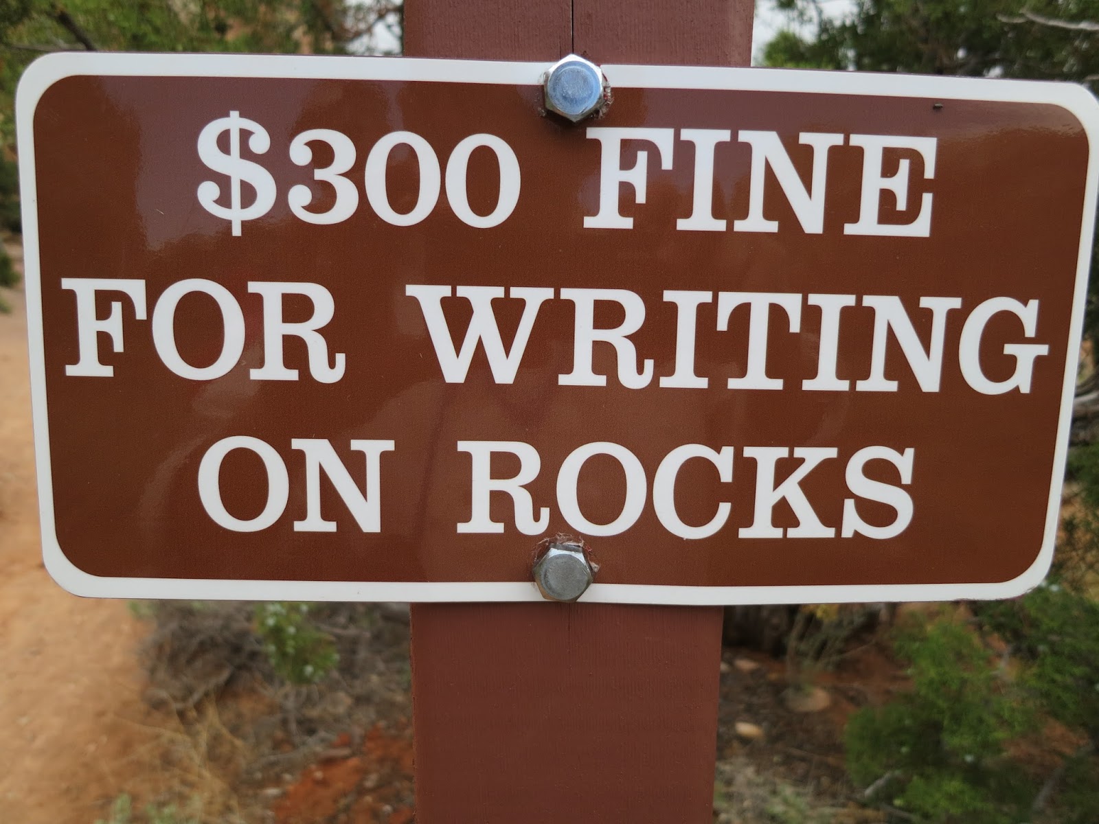
| A plack at the trail head. The Highpointers I've met up there (and on Rainier, Gannett, Hood, Granite, etc.) are serious about no-trace-conservation and saving wilderness for future generations. I wish the all Boy Scouts we saw (we passed well over 100 on our approach to Dollar Lake) would show the same commitment to conservation. Dollar Lake is a mess, courtesy of the Scouts, who overrun the place every summer, with piles of turd and blowing, dirty toilet paper under every tree. Their Scout Masters evidently did not require their Scouts to read the classic book "How to Shit in the Woods." I read passages to my Scouts, in the church no less, just so they'd be prepared to poo correctly in the woods. Seriously, the book is a must read for anyone who may need to 'go' without facilities. Doing it incorrectly can spread disease and create a total yuck factor of otherwise pristine wilderness. It doesn't take a 'tree-hugger-hippy' to recognize the smart way to camp at the crowded base of Utah's highest peak. Another thing on Scouts, their group sizes are huge, often exceeding the regulation of 14. One Scout Master told me they had 20 scouts in their group. No wonder the USFS Rangers are so surly. I'm not against Scouting, I've been a Scout leader for over 20 years, and currently a Varsity Coach, but the BSA guidelines of 'No Trace Camping' are mostly ignored by the scout troops of Utah. I believe Scouters in Utah believe it is too "liberal" to backpack in an environmentally correct way and they fear their Tea-Party lifetime-memberships will be revoked if they do anything that could be construed as environmentally friendly. If it were up to me each Boy Scout and Scout Leader should pass 'no trace camping' training before entering wilderness areas, otherwise just stay the hell away. Instead go car-camp at the Hinckley Scout Ranch where scouters torched it. Best to keep the damage in one place. |