Sunday, August 2, 2015

Running Squaw Valley: Emigrant Peak, July 30, 2015

Emigrant Peak, Squaw Valley Ca., July 30, 2015

Up early again to run but this time it was up Emigrant Peak from the Squaw Valley resort village, via the Shirley Canyon trail rather than the resort services roads. Shirley Canyon is just north of Squaw tram. Compared to the resort service roads I ran during Tuesday's run up Squaw Peak, Shirley Canyon is more challenging due to the 'bouldery' trail. Otherwise, both runs were similar in stats: just under eight miles round trip, and just under 3k vertical rise. 


Along the Shirley Canyon Trail on the way to High Camp and then Emigrant Peak.
This was a tough trail to run given all the granite boulders and big steps on the trail, but there were a few "easy" parts on the slabs of granite. Shirley Canyon is dressed with big, beautiful Red Cedars, Douglas Fir and Ponderosa Pine. It is beautiful country. I lost the trail on the way down, got too far north on a slab and which led me to a big drop-off, and, remembering this dead Cedar during the ascent, I relocated the trail from almost a quarter mile off route.


Emigrant Peak from Shirley Lake. Look hard and you'll see the Solitude Chair lift base terminal.

"High Camp" at Squaw Valley is a rats nest of chair lifts, trams, gondolas, swimming pool and skating rink. And all 2,000 feet above the resort base.

High Camp. It's so flat even Sasquatch could ski it. From here it's tough to believe you're nearly at the top of one of the toughest ski hills in America. On the left is the upper terminal of the Squaw tram, swimming pool and skating rink. The pointy peak on the right is the Eagle's Nest near the summit of the much talked about steeps of the KT-22 chairlift. 

Squaw Peak and the Palisades (ski runs through the cliffs) as seen from High Camp. The 1960 winter Olympics were held at Squaw Valley and the Men's Downhill started just right of the cliffs of Squaw Peak, the high point above. 


This is the summit of Emigrant Peak, view south towards Squaw Peak, washed out in the early morning sunshine.


From summit of Emigrant Peak, view north towards Granite Chief Peak.

The bull-dozed flat summit of Squaw Peak, from Emigrant Peak. The peak was leveled years ago to install an FAA radar facility (see my previous post). The platform on the right is the upper terminal of the Siberia Express chairlift, currently under re-construction. I've never seen a ski area build, tear-down, move and re-build chairlifts like Squaw Valley. During my two summit runs this week, I encountered numerous old chairlift tower foundations and old lift terminals (like the old Cornice chairlift). 

Shirley Lake reflecting Emigrant Peak (l) and Granite Chief (r).


One more reflection, but without the log.

Running Squaw Valley: Squaw Peak, July 28th, 2015

Squaw Peak, July 28, 2015


ALL skiable, the Palisades on Squaw Peak as seen during my descent through Siberia Bowl. 

My son lives in Reno and he snagged a Squaw Valley condo from a work colleague for a week-long family vacation in the Sierra's. Squaw Valley is a notorious extreme skiing mecca (for the resort crowd) and, for summer fun, it is less than ten miles from Lake Tahoe. The plan was to go to Tahoe each day. Good enough, but my personal, selfish plan was to run the mountain early each morning while the family slept. Great plans usually fall apart and this one fell hard. Let's just say it is tough to get up at 5AM while on vacation. Worse yet when sleeping in a hard, unfamiliar bed in an un-air-conditioned condo when the nights are hot and dry. (Low temps in the 70's in the Sierra's? Who knew!) I nearly failed completely, but finally managed to get up two mornings out of six. I managed to run both Squaw Peak and Emigrant Peak.

From the condo in the resort village they (Squaw and Emigrant Peaks) are both just under eight miles round trip with an elevation gain of just under 3k feet. Statistically they are similar to running up to Hidden Peak from the Snowbird tram base. In hindsight, and after running both Snowbird and Squaw, I can say Squaw overall is NOT as steep at Snowbird. The vertical gain is similar, (Snowbird has slightly more vert), but Snowbird is not as long as Squaw, therefore Squaw is not as steep. Yes, Squaw Valley proudly brags that 50% of their runs are black diamond (expert) but that is a bit misleading. If measured by acreage rather than by number of runs, Snowbird has the edge in overall steepness. Squaw has some damn steep, challenging runs, but Squaw also has huge tracts of flat prairie terrain below those steep cliff shots. In short, Squaw quickly transitions from crap-your-pants-steep to major-yawn-fest-flat. Those flats are a big reason why Snowbird and Squaw don't really compare. If you like short, fall-you-die-steeps, go to Squaw. If you like longer, sustained descents, go ski Snowbird.

But I regress, I tried running up Squaw Peak from the base of the resort village (6,200 feet) using Squaw's summer trail map, but quickly found the map is a mere guideline (a bad one at that) rather a definitive hiking guide. The trails are faint and discontinuous and I soon gave up on the trail and ran the summer service roads to the Gold Coast area of the mountain (roughly 8,000 feet). From there I ditched the service road altogether and headed SW for the 'Cornice Bowl' ridgeline, the ridge that runs from KT-22 to the top of the Headwall chairlift and then to the summit of Squaw Peak (8,900 feet).

Hiking/running that ridgeline was immensely more enjoyable than running those resort service roads anyway. It gave me great views of the Sierra's and a glimpse of Tahoe. The mountain is hot and dry during the summer, with no trace of lingering snow anywhere, but in the early morning hours the air was crisp and clean and it just felt good to be high on a mountain

Sunrise from Cornice Bowl Ridge, above the Headwall Bowl of Squaw. The shadowed peak through the trees is the Eagles Nest near the upper terminal of KT-22 (ski lift). 


View of Squaw Peak (8.9K) from just above the summit terminal of the Headwall Express chairlift. The white tough-shed thing is the ski patrol shack. I hiked up the ridge (center) to the summit.


Signage on the Squaw Ski Patrol tough shed. What's this no hiking stuff?  I thought Squaw skiers were badass?!? Maybe as  badass as Jackson Hole skiers (as they both like to claim anyway).


Ignoring the 'No Hiking' rule, I headed up the SE ridge of Squaw Peak to find this cable and ladder assisted route up the ridge to the top of Squaw Peak. Hiking the ridge was no big deal in summer, but I can only guess that in winter, while wearing ski boots and carrying skis, maybe this Via Ferrate ('iron way' in Italian) assist might be necessary?
I'm scratching my head on this one. For all their talk I'm wondering why they need an assist at all? Perhaps riding lifts makes one soft?


The ladder just below Squaw Peak's summit. Yes I'll admit I climbed it, but the rock looked like a very easy climb, with or without the ladder. The notorious ski runs known as the 'The Palisades' is on the right.


View down from the top of the ladder. Gold Coast is barely seen to the right, Sunshine Bowl to the left.


Tahoe from the summit of Squaw Peak (8.9K). The upper terminal of the Headwall Chairlift is just below and the resort village is seen far below (the green meadows/golf course in mid picture).


View from Squaw Peak, north across the Palisades and Siberia Bowl,  toward Emigrant Peak (8.7k feet - site of Thursday's run) and Granite Chief (9k ft.) 


View down the 'Main Chute' of the Palisades.


Weird stuff on the summit of Squaw Peak. Later that day I asked the Squaw tram operator what is was and he looked at me shocked, said it was an FAA radar facility and that is emitted huge doses of radiation. He then said it was dangerous to get near it. He was incredulous that I didn't obey the 'DANGER KEEP OUT' keep out signs.  I saw no signs anywhere (evidenced by my photos), other than the 'no hiking' sign on the patrol shack. There was no warning on the summer trail map either, which lists a trail to this very spot. He seemed totally pissed that I was up there. If it was dangerous, it totally explains the fried-brain-mentally of Squaw skiers, other than maybe Scot Schmidt, Glen Plake or Mike Hattrip.


FAA communications and they still use mail boxes. Hey Squaw, if this is dangerous perhaps fence it in??


FAA diving bell at 8,900 feet.


Back side of Squaw, view SW.


Tahoe in the morning sun from Squaw Peak.


I descended the north ridge of Squaw Peak to the top of Siberia Bowl Express (chairlift). This it the trail map at the top of the lift, with no warning of radiation hazards. I think the tram operator is full of crap, maybe fell on his head a few too many times while skiing the Palisades?


No GO at Tahoe, so went to Hidden Leaf Lake, July 25, 2015

Hidden Leaf  Lake, July 25, 2015

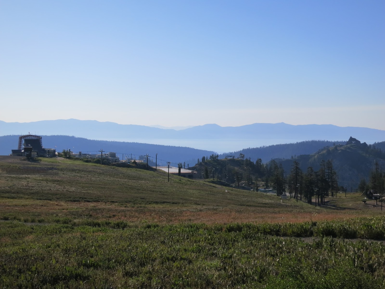
Perhaps I am naive but I honestly thought I could drive to Tahoe, walk barefoot on the beach and maybe stick my toes in the water. Little did I know, you have to get up at the crack of dawn just to find parking within a mile of any beach on Tahoe. Yeah, I am a tourist, and I'm sure the locals have their tricks, but the bottom line is this: Lake Tahoe in July is a freaking mess of humanity, and as you might guess from my previous rants, I'm not really into overdoing humanity. It's a chronic genetic disorder passed down by both parents, one a Utah Farmer, the other an Australian who knew the spiritual/psychological benefits of periodic "walk-abouts." Moderation in all things, especially politics, religion and tourist traps.

Our plan was to rent SUPs (stand up paddle boards) and head out to Tahoe's open water and enjoy the alpine scenery of Lake Tahoe, but as we're driving through the traffic jam of South Lake Tahoe, and as we're approaching Pope Beach, we start to see parked cars lining Highway 89 (1/2 mile from Pope no less) and swimwear clad people walking the highway. Not a good sign. When we reach the turn off to Pope Beach we're greeted with a "LOT FULL" sign. Duh - this is Lake Tahoe during daylight hours.

Time for plan B. I flip a "U-ey" and head back towards town ("South Lake Ta-hell"). I had seen a SUP-Board rental shop (www.SUPsouthlaketahoe.com)  along the way and it was high time to ask for advice from someone who knew the scene. We walk in and the owner gives a knowing, smirk/grin. He's undoubtedly seen folks like us a thousand times: tourists frazzled by the huge crowds and absolute zero "solitude" of America's largest, highest, deepest, most beautiful (arguable) alpine lake. He is friendly and knows his business, and suggests we don't even try Tahoe but rather go to a much lessor known lake just a few miles away, a place that only the locals know: Hidden Leaf Lake. I'm wary - how many other did he reveal this secret? - but I'm also desperate so we rent the boards. (The owner was even kind enough to load the location on our phone, which says eight miles or twenty minutes SW of Tahoe.)

We drive to Hidden Leaf on a windy, one-lane road. When facing on-coming traffic on the narrow road, Hawaiian rules dictate: if you have a pull-out, stop and let the line of traffic pass. None of this Utah "he/she-in-the-baddest-Escalade-has-ROW" bullshit. Just be kind and wait your turn when it's not yours to take.

The road is lined with nice, yet discretely modest cabins, each with private docks for private lake excursions, and, I'll admit, I'm a bit envious of those lucky souls. I was also a bit nervous the whole drive in, thinking it'd be packed like Tahoe, but when we reach the public parking lot I see there are only 30 or so spaces - all taken - but within minutes someone waves us over saying they are leaving. We carry the boards to the water and find the small public beach, all of 50 feet of sand on the otherwise deep and rocky lake shore, but it's mostly vacant and the folks who are there are relaxed and happy and not concerned about defending their territory. Such a relief to get away from the maddening crowd of Tahoe. We spend the rest of the day at a leisure pace, paddling Hidden Leaf or just snoozing on the secluded beach.

Hidden Leaf Lake is about a mile south of Lake Tahoe; it's about 3 miles long and a mile wide and over 400 feet deep just off it's western shore below Cathedral Peak. The lake was created by several glaciers that descended northward down the Glen Alpine Valley. Once the glaciers retreated, the basin below the terminal and lateral moraines filled with water and Hidden Leaf Lake was born. If the glaciers had continued downward and reached the level of Lake Tahoe, the lake would instead be a bay of Tahoe similar to nearby Emerald Bay, which is  several miles to the NW.

I love Hidden Leaf Lake. Tahoe is nice but a bit of a disappointment with it's crowds and access issues.

Kara's a champ! Five minutes and she's a SUP pro. All that high speed skiing has its benefits, namely a keen sense of balance.


On the other hand, I'm just a pastey white guy in a dorky hat.
Cathedral Peak forms the west shoreline and the deepest part of the lake, over 400 feet deep just below those steep slopes.

The paddle boards move surprisingly fast when you dig into the water.


Kara ahead, paddling over about 400 feet of water (where's that life jacket?). The terminal moraine is easily seen on the north edge of the lake, just above Tahoe.