Winter ended in February this year. It stopped snowing by the end of January and the temperatures were a full month ahead of schedule. To add insult to the situation, the temps remained warm into April and only then did we get some real precipitation. For the last month (mid-April on) it has rained every other day below 8,000 feet, with nice powder above. I say 'insult to the situation' because my usual ski haunts are low elevation, the winter snow pack mostly gone, and I'm just too damn lazy to drive up the Cottonwoods. OK, that's not entirely true. The reality is I was busy working on those powder days, and timing is everything when searching for powder in the spring.
Yesterday it rained most the day in the valley. I was outside helping a neighbor lady clean her yard and I got soaked. My old NF Goretex jacket even soaked through, and I was as cold in that rain as I had been all winter. When the clouds parted I could see a dusting of snow on the upper 500 feet of Bountiful Peak. Huh, maybe an inch of powder tomorrow morning?
I got up early and drove up the now open Farmington Canyon road, early enough to get home in time for church. The upper gates at the Francis Peak/Bountiful Peak junction are still locked so that's where I started booting. There were patches of snow in the shady spots but it wasn't continuous until I reached Farmington Lakes, about a mile up the road and sitting at 8,040 feet. I started skinning there and, using crampons, climbed straight up the fall line to the rock outcrop on the ridge just north of the summit of Bountiful Peak. That was my apex. My first turn set of a respectable slough, maybe big enough to knock me off me feet, so I stopped and watched it flow, primarily to avoid a larger slide in the event of propagation and a wet slide. The slope was 40 degrees and my slough did slide to the bottom (500~vertical), but it didn't kick off anthing larger, a good indicator that the slope was safe. I skied without hesitation to stay ahead of more sloughing and the snow was idiot proof; solid but very carvable. Yesterdays powder had turned to 'porn' (refrozen new snow that had turned to mush before cooling in the night). Powder-to-corn is porn. A stupid name, but that is skiing for you.
So, two quick runs off the north should of Boubntiful Peak and then a quick exit for home. The Farmington Canyon road is as smooth as I've ever seen it and I drove the upper section at almost 50 mph, and yes, I made it to church on time, one minute to spare.
 |
| Lonely parking lot at the Farncis/Bountiful Peaks junction on a Sunday morning. In the good days, when the snow fell deep and when the road was plowed, that gate was completely covered with snow. |
 |
Bountiful Peak from the road near the campground. |
 |
| More bad weather on the way, but makes for nice clouds? |
 |
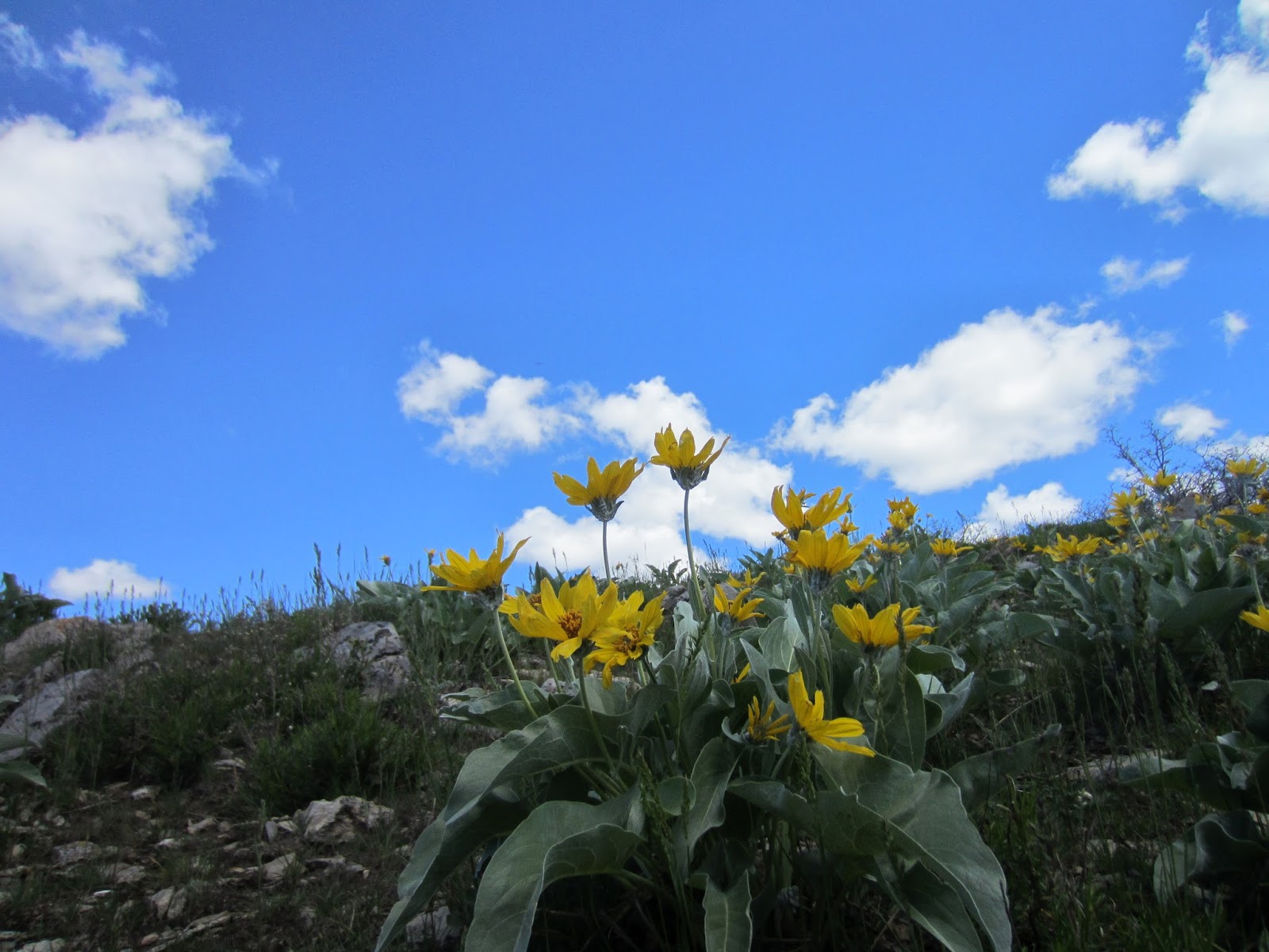
| Aspens, just leafing out, and the last of the winter's snow. |
 |
| The morning sun and cumulus clouds make for idiot proof photography. |
 |
| Farmington Lakes with Mud Peak above (half covered in snow). |
 |
| Skin track. Firm snow, skins and ski crampons allows for straight up skinning. It doesn't look steep but this is about 38 degree slope. |
 |
| Francis Peak from the north shoulder of Bountiful Peak. |
 |
| Bountiful Peak offers some steep couloirs, over 50 degrees. |
 |
| Wind-downed tree? Every thing nearby was standing, so apparently this wasn't the result of an avalanche. |
 |
| This was a sizable cornice a month ago, about 15-20 feet high, but now melting into the hill. |
 |
| Clouds enveloping Francis Peak. |
 |
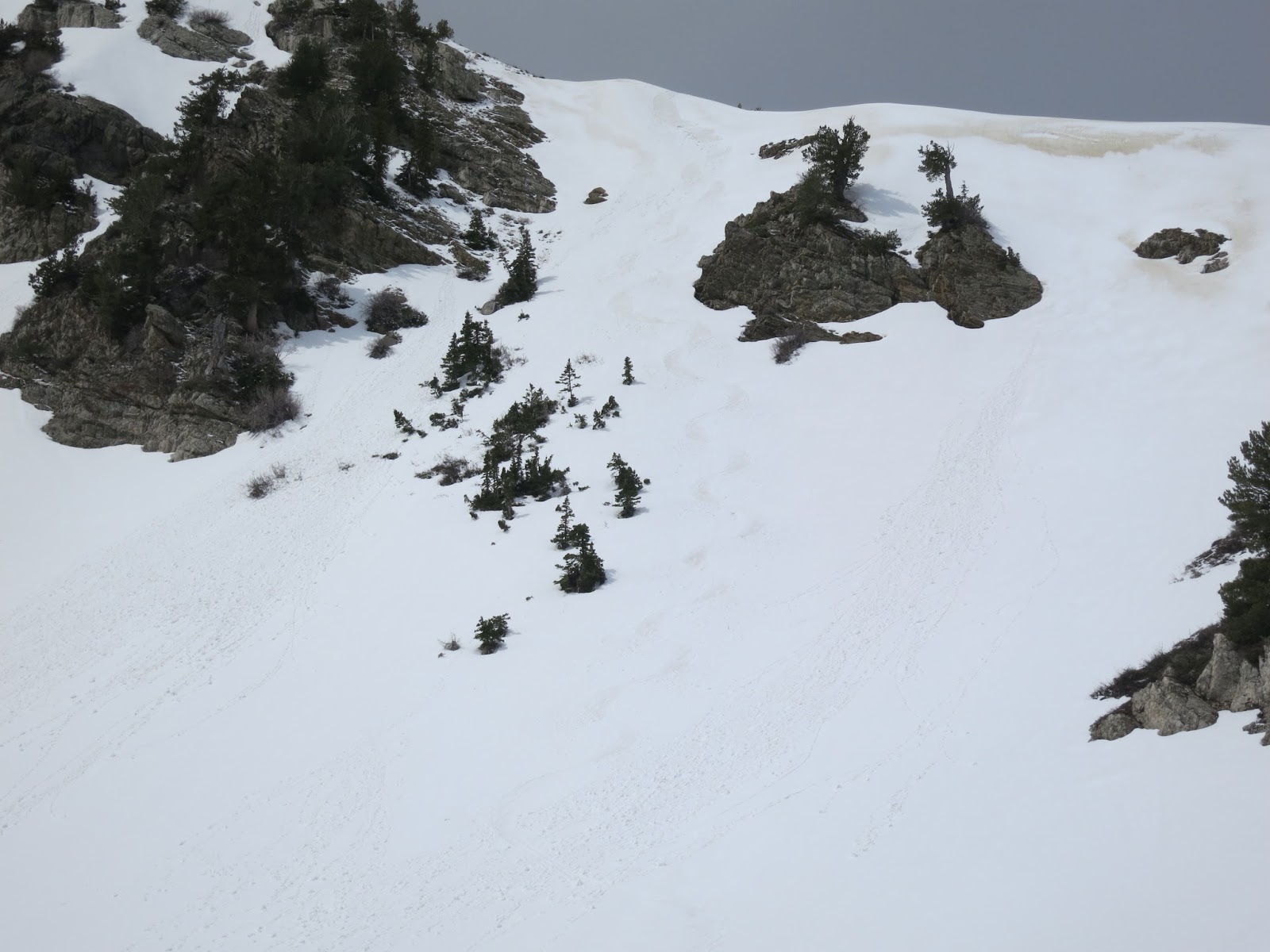
| My turns are barely visible in the old snow. My first turn started a slough that ran about 500 vertical, but it didn't propagate so, after watching it run I committed to the hill and skied quickly to stay ahead of my slough. The snow was wet and heavy enough that if caught by my slough, it probably would've knocked me off my feet. |
 |
| Selfies, always better without faces. |

 |
| Walking out down the road, I've never seen so many dead worms. |
 |
| Bountiful Peak Road, just below the Bountiful Peak Campground. I have a lot of great memories skinning up and skiing down this road. Kind of sad to see it free of snow, soon to be a cloud dust by the ATV's that take over during the summer/ |
 |
| Rice Bowl as seen from the road. |
 |
| The switchbacks of lower Farmington Canyon. It almost looks like Ireland. In another month it'll look brown like Utah. |