|
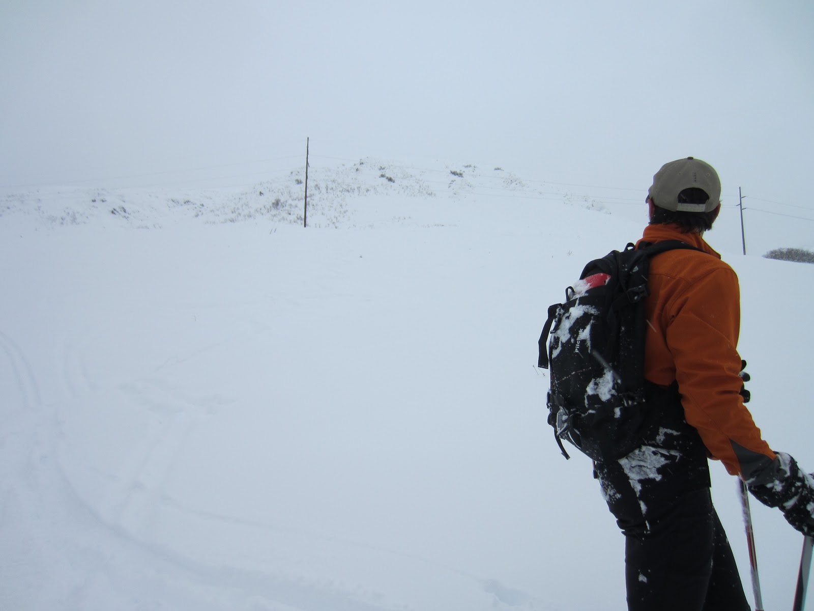
| Whiteout at the base of the SW "head wall" of Mt. Van Cott. |
I whine about work - a lot - but if there is one saving grace of my job, now going on 25 years with the same company, it is the location of our office. We are located as close to the Wasatch Foothills as possible without disgracing the mountains with an office building. Plus my employer is self-insured (medical wise) so they really push for the good health and physical fitness of their employees, providing lockers, showers, a exercise/weight room and classes. I am a child at heart and never got past recess, so getting away from my desk for an hour or two each day makes a wondrous difference in attitude when it comes to my career. Many of my co-workers attend the company sponsored weight-training, yoga or core classes, but I need fresh air and open space so at noon each day I head outside and run trails. I try really hard to not make excuses for ANY weather; I try to not let anything, but perhaps the boss or my wife, get in the way of my lunch-runs. If anything, I've found that bad weather can actually stir the soul and provide a new joy in an old routine.
Today (Wednesday, January 30, 2013) is the third day in a row with stifling valley snow which has stopped the commuter traffic of Salt Lake City in its tracks. For the last three days my commute has averaged nearly two hours (one way), and I live only 12 miles from work, a commute that usually takes 35 minutes even in heavy traffic. At home I've been shoveling snow non-stop and my yard has about 24 inches of coverage, and that's at the lowly elevation of 4,700 feet. With that uncharacteristically deep valley snow, I reasoned that Mt. Van Cott's higher elevation (6,730 foot summit) would offer even better coverage. On Monday I ran/hiked to the summit of Mt. Van Cott via the South Face, via Red Butte Canyon, and found descent coverage, but that was a different aspect. Late Tuesday afternoon Christian and I set the plan to ski the open west face of Mt. Van Cott (aka Hobo Hill) during Wednesday's lunch run. I reasoned the coverage would be better than at home and didn't hesitate to bring my A-rig.
It was snowing and white conditions but great to be away from the desk and email, if only for an hour or so. Mt. Van Cott is the perfect lunch run when time is short. In dry conditions I can get up and down it in under 40 minutes, perfect when the work-load is tight. It is short and moderately angled to allow and old man like me to run to whole thing. My effort is slow and lacks grace but I can run (slowly) uphill forever. I've never been a gazelle, more like a Mack Truck in first gear, but for whatever reason I can run uphill and my endurance will often see me through when the fast guys die half way up. From the loading dock to the summit it's a 3-4 mile run (round trip, depending on route) with an elevation gain of 1,350 feet. Mt. Wire is preferred for longer distance and vertical, but Van Cott, while short and moderately steep is perfect for a run between a noon and 1pm meeting. After my lunch runs in the heat of summer I've been know to profusely sweat throughout afternoon meetings, disgusting my co-workers as I cool down.
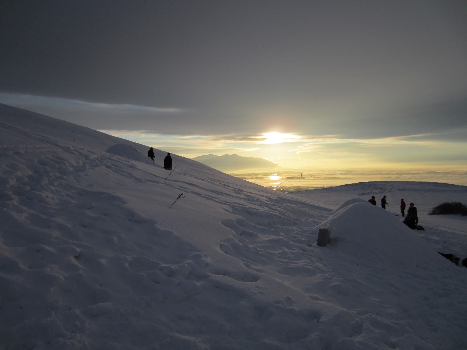
With the snow and white-out today, there would be no sweat fest. We skinned up the water tank trail and upon topping out on the rounded ridge at two-thirds height, through the mist we could see 20 or so eerily body-shaped shadows where there is normally just a grassy ridge. We wondered if we were hallucinating from the hypoxic pace, or maybe we were not where we thought, could we be on the neighboring, rocky ridge? A weird sensation to see things where there is normally nothing, but as we continued people emerged through the clouds as we ascended the ridge and we could hear one dominate voice and we realized it was a class of some sort from the nearby University. We skinned within feet of the 'stone-henge' circle of college kids, they looking at us with the same stunned look that we had, for it was truly a weird site, and it sounded to me like the professor was lecturing them in psychology. I could only think, if my general-ed classes were taught on a snowy mountainside, maybe I would have managed a little better than a B average?
Christian and I skinned up the last steep hill to just below the rocky summit of Van Cott and transitioned to ski Hobo Hill, the direct west face of Van Cott, named for the homeless man who camps year round in the drainage directly below us. I talk to him once in a while but he mostly prefers solitude, although, once started he talks and talks and talks. His mind is blown from years of hard living, so maybe he doesn't feel the cold like the rest of us, but he still has all my respect to live year round in the Wasatch foothills.
We make turns down Hobo Hill and with almost every turn I'm hitting ground. There is nothing like the sound of skis on rock to make one ski with zero aggression. I am not a rich man so I make my gear last. Yeah, I do own five rigs of ski gear, each for a specific set of conditions, but real skiers buy a new quiver each year. I am not a wealthy man so I baby it, fix it and repair it, like a total nerd. If it's cycling I'm on a ten-year plan, with skis it is five, so, when I hear those edges scraping rock, I ski with as much tenderness as possible.
We ski down, kind of disappointed with the thin coverage and kind of sick to think of the damage we inflicted, but grinning and happy to be outside skiing in a blizzard on our lunch-hour when the rest of Salt Lake City is toiling at the grind-stone. On the lowest hill, just above the University - and work - I'm still a little shocked at the difference in coverage between my home and the west face of Van Cott. But surprisingly that lowest hill holds the best coverage on Van Cott, albeit more forgiving because it's less rocky and with more grass. The last ten turns I let it rip and make turns with some real attitude. Twenty minutes late I'm back at my desk checking email. Having skied during lunch my attitude back to the positive side of the scale. Who else can ski during lunch in Salt Lake City?
 |
| Christian, transitioning to ski. |
 |
| This picture is in the lower drainage between the direct SW ridge and N-butt of the SW ridge of Mt. Van Cott, where the coverage was good (18 inches and no rocks), at least on the northern aspects. Hobo Hill (direct west face of upper Mt. Van Cott) was very thin, much thinner than expected (12 inches), and my A-rig was trashed. I should've gone with my old BD Arc Angels. |
 |
| What happens to young, B.C. skiers who make bad life choices. I skied around a bend in the drainage and scared off five or six magpies enjoying a cold lunch. |
 |
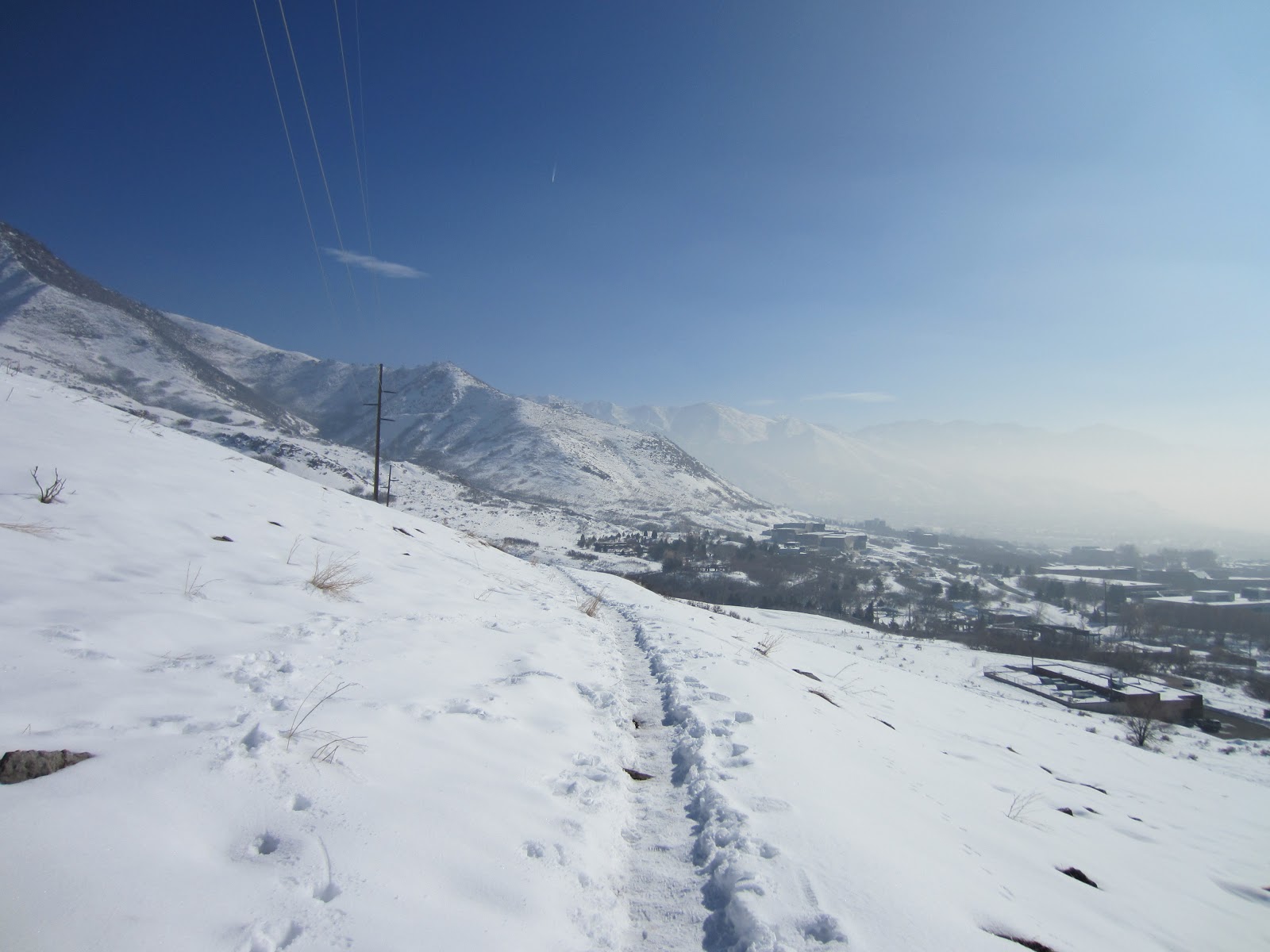
| Look real hard and you might see our turns descending from the Bonneville Shoreline Trail (starting at the power line pole), ending at the U. of U. Hospital Parking Lot. Surprisingly, this was the best skiing on Mt. Van Cott (elevation 5,000 feet). |
 |
| Christian getting a stone grind. |
 |
| Part of the quiver out to dry. The following Saturday (2-2-2013) Kara and I skied the Canyons Resort (long story). When skiing lift assisted groomers at a resort, I prefer to go Tele. Those old K2 Super Stinks are one of my all-time favorite skis. For whatever reason I just always have fun on those things. Although, at the Canyons on Saturday, I got a lot of queer looks, Tele is truly dead, plus they were by far the skinniest skis this side of 1995, or the Ski Mo races held each Tuesday night at Brighton. |
 |
| My BD Justices after the spa treatment and 2 p-tex candles (due to the damage inflicted on Mt. Van Cott). I'm a hack ski-tuner, but, I must say, they almost look like new. |