What a difference 5 days can make, and no wonder my skis were thrashed. Today during the lunch hour I went back to the site of last Wednesday's skiing to see what was left of our tracks. As you'll see, not much. The mistake in my logic was the January inversion. The upper foothills have been melting while the lower foothills have been protected by the smog and hold deeper snow. Go high or go low.
 |
Last weeks exit run out of the drainage between the N and S butts of Van Cott's SW Ridge.
 |
| Hobo Hill, the diagonal slope running R-L. It doesn't look it but it really does follow the fall line. As you can see it was thin. Last Wednesday it was totally covered, but not enough, it took out a lot of p-tex. |
|
 |
| Last Wednesday's skin track has almost vanished in the sun (straight above and direct center, through the rocks). Approaching the Van Cott SW head wall. |
 |
| Central Wasatch and SLC smog from Van Cott's summit. |
 |
| View SW of Oquirh Mountains from Van Cott's summit. |
 |
| The power of one and the mess of all. My "drill-baby-drill" friends don't think we have a problem. To them it is all or nothing, and if they admit anything might be wrong they think they've lost the war. But they don't get it. Small actions by all can make a big difference. I'm not asking anyone to give up their cars, heat or lights, just conserve, even a little, and it'll make difference. |
 |
| View SW looking down Hobo Hill, last Wednesday's ski run. Half my ski bases are on those rocks. |
 |
| Skin track 5 days out. |
 |
| The magpies have cleaned her out. |
 |
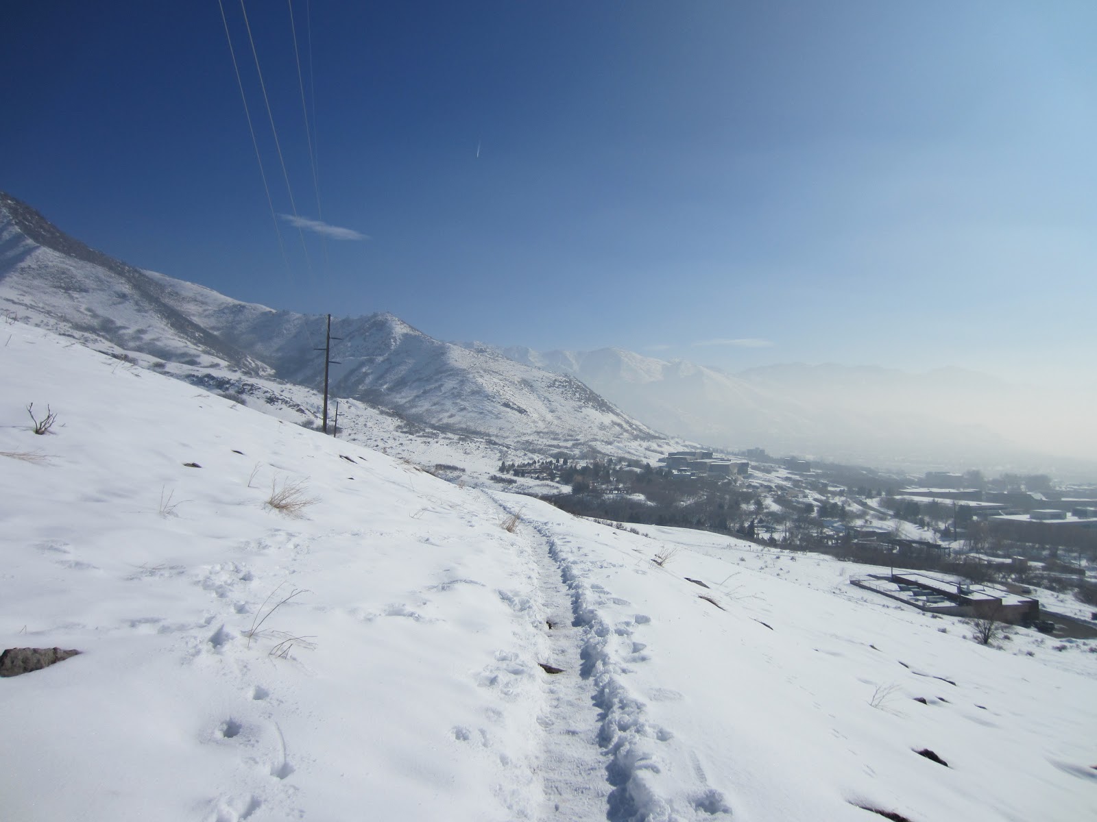
| Ski tracks +5 days. The best skiing on the mountain was on this low angle pitch just east of the U of U student housing. The snow is deeper here due to the prolonged January inversion which hid lower elevations in smog and cold. |
 |
| Bonneville Shoreline Trail just north of Red Butte Canyon. A couple hundred vertical feet higher and the air is clean. |


No comments:
Post a Comment