Sunday, June 23, 2013

Wasatch d'Huez - Mountain Biking Farmington Canyon to Bountiful Peak 06-22-2013


Big climbing today on my mountain bike! I rode from my house up to Bountiful Blvd, over to Farmington Canyon via the Bonneville Shoreline Trail, up Farmington Canyon, then up and over Bountiful Peak, descending Skyline drive into Bountiful and back home via Bountiful Blvd. A long day on knobbies!   

Stats:
Leg 1 -To Farmington Canyon: 14.5 miles, 1,522 ft. elevation gain (rolling terrain).
Leg 2 - Up Farmington Canyon to Bountiful Peak/Frances Peak Junction: 7.1 miles, 2,375 ft. gain.
Leg 3 - To Ridge Crest overlooking Farmington: 3.17 miles, 1,280 ft. gain.
Leg 4 - Ridge Crest to Bountiful Peak: 1.22 miles, 597 ft. gain.
Leg 5 - Descent of Bountiful Peak via Skyline Drive then home: 16.76 miles, 269 ft. gain, 4,495 ft. loss.

Totals - 42.83 miles, 6,066 feet elevation gain, 6,030 feet loss. Total ride time 4 hrs 37 minutes. Average speed 9.25mph, 41.3mph maximum speed. Highest point: 9,100 feet at Bountiful Peak overlook. Lowest point: 4,730 feet, at my house. 

I'm a decent climber on a road bike and can hold my own, but I was pathetically slow today on my mountain bike. Yeah, I had a flat and took way too many photos, but still too slow. Before starting the real climbing in Farmington Canyon, I had over 14 miles and  over 1,500 feet of climbing, and did some backtracking in the Centerville foothills due to a poorly marked trails. It's a spiders web of trails up there. I could blame it on ATV's and their penchant for cutting new paths, but I won't, but the thought crossed my mind. Once I hit the big climbs I was slow and steady. Oh well, it was an endurance ride and not a time trial (like riding up to Rudy's Flat). Isn't anything under 20 miles a time trial? 

The day was beautiful, clear, sunny and a cool breeze to freshen things up. The wind even felt cold at 9,000, but refreshing after a long, sweaty, dusty climb up Farmington Canyon. Did I mention dust? Yes, I was sucking dust thrown up by big trucks and four-wheeler's all day long. Dust is just part of the equation when riding dirt roads in Utah, but it's still annoying. There was one considerate fellow who actually slowed to a crawl as he passed to minimize the dust, but, sadly, there are too many motor heads that hit the gas while passing a cyclist, just to throw more dust.          

Antelope Island from the switchbacks in Farmington Canyon.

Rice Bowl with just one patch of snow remaining. I skied this in late March (see post), again riding the mountain bike (skis strapped to frame) up the canyon due to a locked gate.  

Bountiful Peak from near the Bountiful Peak Campground.

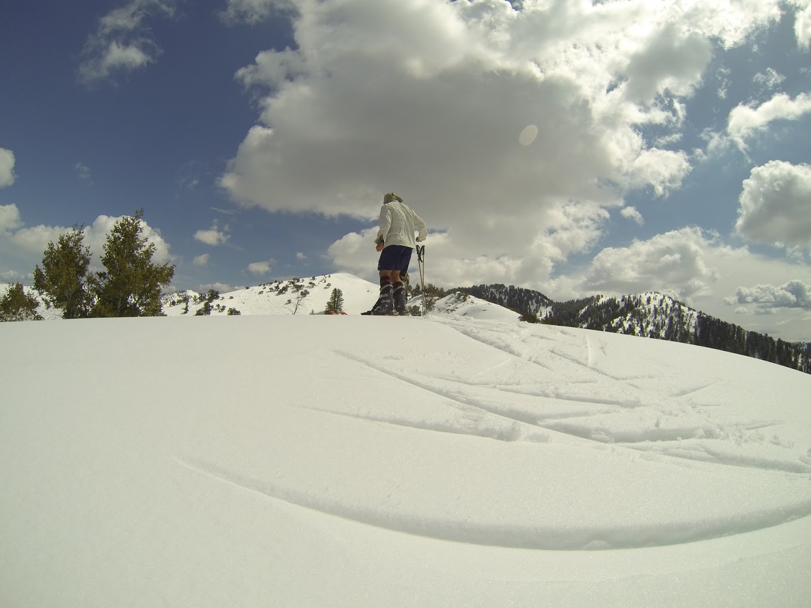
Last of the snow on the NE aspect of Bountiful Peak (elevation 9,000 feet).

Farmington Lakes

Antelope Island from ridge crest.


Beautiful Day!

View south from Bountiful Peak with the central Wasatch on the horizon, with the snow going fast.


I take way too many photos, wasting time and carelessly dropping the bike wherever. My wife says I should just leave the camera at home and my Strava segments wouldn't look so bad. Maybe that's why my times are more competitive on a road bike? And she's right, but she never minds that I go off adventuring on Saturdays when yard stuff is waiting. That said, upon arriving home I still added two new sprinkler laterals, even in my staggering-tired state.   
Another shot of Antelope Island, from Bountiful Peak. Salt and mud flats emerging after another dry winter.

Friday, June 7, 2013

Lunch Run - Mt. Van Cott, Sego Lilies, June 6, 2013


I've been on holiday in Spain and missed some great ski days in May. I'm now just trying to get into the swing of summer while mourning the passing of winter. What can I say, I love skiing. But Spain was worth it, and I wish I could have spent the summer, or even a year. The people, the history, the landscape, the food, it all exceeded my expectations. I'll post about our trip once I sort through our 2,000+ photos and way too much video.  

Back in Utah, I was welcomed home by the brief green hills and flowers of the Wasatch spring. I was depressed to be returning home from Spain, so my vision was probably clouded, but on that drive home from the airport the Wasatch foothills looked like the foothills of the Pyrenees, like I was still in the Basque Country of Northern Spain.

My sour mood got a big lift this week while running up Mt. Van Cott; I found hundreds, maybe thousands, of Sego Lilies in full bloom. Perhaps a bit girly, but I've always been intrigued by Sego Lilies. I like their reclusive nature and I can relate to their personality. Unlike me they are elegant and understated. Sego's appear briefly in late spring, blooming once a year for just a week or two, then wither, blow away and are gone. They are few and far between, usually just one or two every few hundred feet. If they were human they would be backcountry skiers and trail runners, with no goofy bucket list of stupid tricks to tick off and brag on, only pure passion to drive their habits. They would ski hard but would avoid the 'Disney' crowds of the Central Wasatch. I can identify.

This spring is a banner year for Sego's, and this week they are numerous. Today on one hillside (south facing slopes between 5,000 and 6,000 feet), in an area about the size of my yard, I saw 50-100, which is the densest concentration I've ever witnessed. I've seen more this spring than any year I can remember, but sadly they are starting to wilt, and markedly so, even from yesterday. Next week they'll be gone.

As a kid in Primary (Mormon "bible" study for children) I was taught that the early Mormon pioneers lived on Sego Lily bulbs upon first entering the Salt Lake valley. As I got older, and when I started to recognize the brief lifespan of Sego Lilies, I found the Pioneer-Sego Lily survival story hard to believe. The Lilies are just not recognizable by late July and the Pioneers didn't arrive until July 24, 1847. Without the flower the stems look like grass, and if recognizable at all blend in completely with the other foothill grasses. I'm sure the Mormon settlers were experts at recognizing edible plants even when out of bloom, but for a desk jockey like me who continually runs to the store for ice cream, chocolate and Mt. Dew, I can't begin to recognize Sego Lilies once the bloom is gone.

I've seen Sego's blooming up high in late July, up around 9,000 feet, but at that elevation they are even more widespread. Upon entering the Salt Lake valley in 1847, after walking a thousand miles across the prairies and mountains to Utah, I doubt the Pioneers hiked to 9K feet for a few small bulbs. The bulbs are tiny, about the size of a Peanut M&M, and widely spaced. Aarrowleaf Balsamroot was probably more of a staple than Sego Lilies because they are found in abundance throughout the foothills and valley floors, and their roots are huge, large enough to feed an entire family, or at least the family of one 'Sister Wife'. Sego Lily bulbs and lower stems are slightly sweet and crunchy (and gritty from residual dirt - who washes?). The Mormon Pioneers would have expended more energy searching and digging than the energy provided by the small bulbs. It'd be a calorie deficit, but a tasty treat if or when they came upon the plants. I doubt that Sego's alone could sustain a large group. I've read they were eaten by Native Utahans and the early Mormon Pioneers, but as a supplement rather than the sole source of calories. The early settlers ate them until the 1850's, at which time they had finally tamed the Salt Lake Valley  to the point that farming provided for their needs and foraging for plants, such Sego Lilly and Aarrowleaf Balsamroot was no longer a requirement. (which, by the way are everywhere, and huge, I imagine one root could feed an entire family).  

So, if you're interested in seeing Utah's State flower, get up into the foothills this week.

Aphids like them too.


Still some skiing to be had up on Lone Peak and the higher Wasatch Peaks, but going fast. 


It's tough to see but this hillside above Red Butte Canyon it covered in Sego's. Maybe dotted is the better adjective, but still a lot by Sego Lily standards.

These are NOT Sego Lilies, but some folks have made the mistake. This is non-native Bindweed, also know as Morning*G l o r y. I hate these things; impossible to kill.

Also not Sego Lily, but sometimes mistaken for one. Tufted Evening Primrose, wilts during the heat of day, opens in the cool of the evening.

Arrowleaf Balsamroot (yellow) is prolific in the Wasatch Foothills. 

In another month this slope will be dry and brown. Balsamroot (yellow), and Desert Lupine (purple).

Balsamroot on the summit of Mt. Van Cott, starting to wilt and dry up, like the snow on Lone Peak.


Self portrait, running up Mt. Van Cott.

Tuesday, April 23, 2013

Bountiful Ridge, Backcountry Skiing, April 21, 2013.

Mud and snow, but that doesn't stop seasonally-confused bikers. Don't they know it's still ski season? Even the best bike (or rider) can't handle snow and mud with much aplomb - but you have fun cleaning that grit from your $500 calipers! I'd suggest the $100, disposable 'Huffy', until it's dry.

Finally some green after a long, cold winter (to quote my wife), but for me I wish the skiing would last a little longer.

'North Canyon' overlook, which was about as far as any bikers have made it thus far (tire tracks lower middle). They  have certainly tried, but didn't get much beyond here as the snow is almost continuous to Rudy's Flat, about a mile further up the trail.

View NE, towards Rudy's Flat (just beyond the low pass), from the North Canyon overlook. 

Rudy's Flat and the snow is going fast. Between 1 to 2 feet remaining. A month ago the snow was over four feet deep  and the scrub was covered. 

The namesake of "Dead Tree" Peak, Bowl and Ridge - great ski runs off Bountiful Ridge. I have about a thousand photos of this thing, dating back to the mid-seventies - and none of them any good. My Dad has three or  four photos of this old snag, all in black and white, and all much more provocative than my thousand. He had a great eye behind the lens. The first time I saw this thing I was six or seven, chasing behind my Dad and five older brothers, in 1968 or so.

As for the tree,  I'm surprised some nut hasn't yet cut it down, or set it afire. (I shouldn't plant any ideas.)

Like I said, when I was a little kid my Dad would hike me up there with my brothers several times each summer (no skiing until the mid-seventies) and they didn't hold back just because I was six. I had to run to keep up or else I'd get left behind (and lost). They got away from me once, and I started to cry thinking I'd never get home, but they found me on their descent.  The ridicule I received for crying was worse than being lost. I learned to move fast and I never got left behind again. 

View North from "Dead Tree Peak".  Rectangle Ridge is the shadowed line, mid-right. Rectangle Peak is on the right edge of photo. I skied from this point to get home for church. It rained in the valley and snowed up here all day yesterday (per the Utah Avalanche Center forecast, but all I found was punchy, crusted, semi-supportable snow, making for challenging turns. Not the creamy, day-old powder I was hoping for. 
Transitioning to ski Dead Tree Ridge. Rectangle Peak, my most frequented ski destination along Bountiful Ridge, is the sunny peak visible just left of my knees.   


Looking back towards Bountiful Ridge, Rudy's Flat just out of view around the scrubby knob. Sad to see winter end. 

Sunday, April 21, 2013

Grandview Peak via City Creek Canyon, Bike and Ski, April 12, 2013

Six and half miles on the bike up City Creek Canyon. My timing wasn't too bad as only the last 200 yards of pavement was still snow covered.

Bridge number one (of three) about a quarter mile from the end of the pavement, near where I hid the bike in the trees.

Skis on, skis off. Near the entrance to Cottonwood Gulch (C.G.), which is the south side approach to Grandview Peak, about a mile up-canyon from the end of the road (and the bike). The snow was maddeningly intermittent. I initially by-passed the entrance to Cottonwood Gulch, and went to the next drainage because it looked too small compared to the view of the upper basin as seen from SLC. On the map C.G. appears to be the main drainage of upper City Creek so I expected to find a major stream flowing out of C.G., but no water was flowing from the drainage. And there was no trail heading up the gulch. With the mining activity in the late 1800's and early 1900's, I expected at least a resemblance of an old road, but nothing was found. Maybe covered in snow?  

Most of the gully's off the south side (north aspects) of City Creek Canyon were choked with avalanche debris.

A good sign, finally on the right track. After and added a mile and an hour looking, I back-tracked and headed up the first drainage, the one I by-passed as too insignificant for Cottonwood Gulch.  This is the old bull-wheel from the Hidden Treasure Box Mine located near the entrance to C.G. For scale, it's about four  feet in diameter. 

A bit further and Grandview Peak finally comes into view. I followed the gully for over a mile, all the way to upper Cottonwood Gulch. This is the longest natural half-pipe I've ever seen and it provides a clean route through the brush in lower approach. 

View SW. Lots of steep lines falling off the east side of the Burro Mine area east of Bountiful. Wish I had the time and energy to explore all those lines, but I keep taking the easy (er) access stuff on the western (Bountiful) side of the ridge. 


I'm not one to manufacture religious experiences, but if you look real hard you'll see the patron saint of  back country skiing. Shortly after snapping this photo I clearly heard a female voice, "Ski more, work less". Maybe there is something to all this religion stuff after all?

Getting to the upper basin. The tracks are mine, from leapfrogging while getting video of  myself while skinning. 

Last year's Chickadee nursery?

I should charge BD for advertising.

I didn't realize how much and how high I lift my ski with each step.  Lets see, 15 miles, 27,000 steps at 7 pounds per foot (carry the one), 189,000 pounds!  

East side of Cottonwood Gulch.

Upper Cottonwood basin, view south towards the central Wasatch.

Upper basin, view SW.

On the Cottonwood/Millcreek (Mueller Canyon) divide. View north with smoker tracks coming from Bountiful's Skyline Drive. A snowmobiler died in an avalanche on this slope about 5 years ago. On that day I was skiing the Burro Mine area when Lifeflight flew right over head, followed by the KSL-TV chopper, then, 20 minutes later, Lifeflight flew back out. When I topped the ridge I looked down and saw about 30 snowmobilers milling about in that open meadow. Sad day.

Final ridge to Grandview Peak.

View SW. That ridge with all the skiable lines is the east side of the Burro Mine area above Bountiful. I ski the west side all the time (too much?), which I call Bountiful Ridge in previous posts. So much great skiing to be had, with endless lines, few people, but long, brushy approaches. 

Grandview Peak.

East bowl off Granview. Another great line. The snow was wet in south aspect of Cottonwood Gulch, but the east and North aspects were dry and creamy today. 


I'm such a nerd. The Suunto is for skiing, the Garmin for biking. I'm just lucky I'm not flying an F-16 over Afghanistan with these things, the actual elevation of Grandview is 9,416 feet.  If I had to choose, I'd take the Suunto over the Garmin. A barometer calculates vertical gain/loss with greater accuracy than a GPS.  At the end of the day the Sunnto registered 5,700 feet gain while the Garmin showed over 8,700 feet. A quick look at a USGS map shows the Suunto was quite accurate - there is NO way the incidental ups and downs added 3,000 vertical feet.  That said, my biking friends love their Garmins, with the over-measured gains everyone is a hero on Strava. 

View north.

Just when you think it's safe to ski Grandview (a known snowmobiler hangout), these three smokers show up. 

My skin track in upper Cottonwood Gulch from the summit.


Antelope Island from Grandview.

Turns, upper basin. 


Tired after a long day (and 189,000 lbs. lifted), but not done yet, still a 6 mile coast down the canyon to the truck. And what's with my hat? In every picture my hat, any hat, is always crooked. Or is it just my sloper head? That might explain my weird hobbies.