 |
| Kessler Peak (10,403 ft.) is the high point above my left shoulder. I'm standing on the north peak of Kessler, which I thought was Kessler until I found a much more worn path heading south to that higher peak. It's been years since I hiked Kessler via this route and I didn't recognize the real thing. I've been to Kessler several times the last few winters from the opposite direction along Cardiac Ridge, and it looks so different when buried in deep snow. The lower north perk where I'm pictured is actually named Reed's Peak (approx. 10,000 ft.). |
Kessler Peak (elevation 10,403 ft.) is named for Frederick Kesler (that's no typo, it's spelled with one 'S'), who, in the late 1850's, located a new mill at the mouth of Mill A Gulch. To build the mill he hired loggers to cut timber on the steep slopes above the mill-site including the south side Big Cottonwood Canyon near Mill A Gulch, likely on or near the avalanche/ski run called Argenta. The logging on the steep slopes was tough and those lumberjacks named the mountain after their boss, apparently in a semi-sarcastic tone due to his harsh demands, and the mountain became known as Kesler's Mountain. In the late 1800's when mining began, the prospectors called it Kesler's Peak. For some unknown reason another 'S' was later added to the name, probably just a typo or misspelling in some long-lost, master's-thesis. That typo is now forever stamped in history as Kessler Peak.
Kessler Peak is the high point on the south side of Big Cottonwood above Reynolds Flat, where the canyon straightens and opens up as one is driving up the canyon towards Solitude or Brighton. The canyon opens where the last glacier stopped flowing. The low, lateral ridge running north-south across the canyon west of Reynolds Flat is the terminal moraine of the Big Cottonwood glacier that flowed half-way down the canyon during the last ice-age, which ended about 15,000 years ago. If standing at the Butler Fork trail head and looking south, that terminal moraine is the timber-covered mound rising about 400 vertical feet above the stream and which blocks the view to the mouth of Cardiff Fork (aka Mill D South). From the Butler Fork trail head, Kessler Peak rises proudly above that moraine showing of it's north-face avalanche path, a ski run named God's Lawnmower by back country skiers. The moraine is also now built-out with private cabins, owned by a number of lucky-affluent-few who had the means and were in the right place at the right time to buy in an elect location, and now they vacation on the Big Cottonwood Terminal Moraine. Big Cottonwood Canyon above this point is U-shaped like the entirety of Little Cottonwood Canyon due to the affect of that glaciation.
Why did the Big Cottonwood Glacier only extend half-way down the canyon while the Little Cottonwood Glacier reached the bottom of that canyon, and possibly calved ice-bergs into Lake Bonneville? The calving of ice-bergs into Lake Bonneville is debatable, but an idea that I love to entertain - it's such an exotic and romantic thought, because the terminal moraines at the mouths of Little Cottonwood and Bells Canyons don't have the shoreline beaches left by Lake Bonneville's highest level, named the Bonneville Level at 5,090 ft, which was the level of Lake Bonneville from 14,500 to 16,000 years ago which coincides with when the last ice-age ended. Without those shoreline markings, apparently the glaciers were still in existence when the level of Lake Bonneville dropped to the Provo Level approximately 14,500 years ago. to the 4,740 ft. elevation, which is lower than the extent of those terminal moraines. So, given the ages of the lake levels and ages of the moraines, which are theoretical and not exact, it is possible that the glaciers were flowing into Lake Bonneville. My money is on the theory that there were ice-bergs in Lake Bonnevile that began their journey somewhere in the tops of the Wasatch Mountains, say upper Maybird or on the flanks of the Pfeiferhorn. It's a fun thought.
But back to the Big Cottonwood glacier and why it didn't flow to the valley like Little Cottonwood's. One theory suggests that because the Cardiff Glacier intersected with the Big Cottonwood Glacier at Reynolds Flat, the confluence of the two glaciers produced a jam which slowed the progression of the main glacier. I'm no geologist, but I've wondered if it's due to volume and slope angle? The drainages of Little Cottonwood are steeper and deeper than those of upper Big Cottonwood Canyon therefore there was greater volumes of accumulated ice and therefore the Little Cottonwood glacier had greater force enabling it to plow to the valley floor? Perhaps it was like dumping water out of a 5-gallon bucket versus a 1-quart bucket onto your garden. If both buckets are pored at the same speed wouldn't the greater volume of the 5-gallon bucket erode more of your wife's tomato seedlings than the 1-quart bucket? Don't try it unless you're OK with an ass-kicking.
The extinct glaciers of Utah are fascinating to me. It's fun to read about and speculate on what our canyons looked like when filled deep with ice.
Bibliography:
William T. Parry, "A Hiking Guide to the Geology of the Wasatch Mountains,"/ 2005, University of Utah Press;
Charles L. Keller, "The Lady in the Ore Bucket,"/ 2001, University of Utah Press;
Gerald M. Richmond, "Glaciation of Little Cottonwood and Bells Canyons, Wasatch Mountains, Utah," / 1964, United States Department of the Interior Geological Survey
 |
| Last few steps top the north peak of Kessler, also known as Reed's Peak. |
 |
| Summit of Reed's Peak, the north and lower peak of Kessler Peak. You can see the terminal and lateral moraines where the Cardiff and Big Cottonwood Canyon glaciers intersected, the rounded hill at the base of Kessler near the highway. |
 |
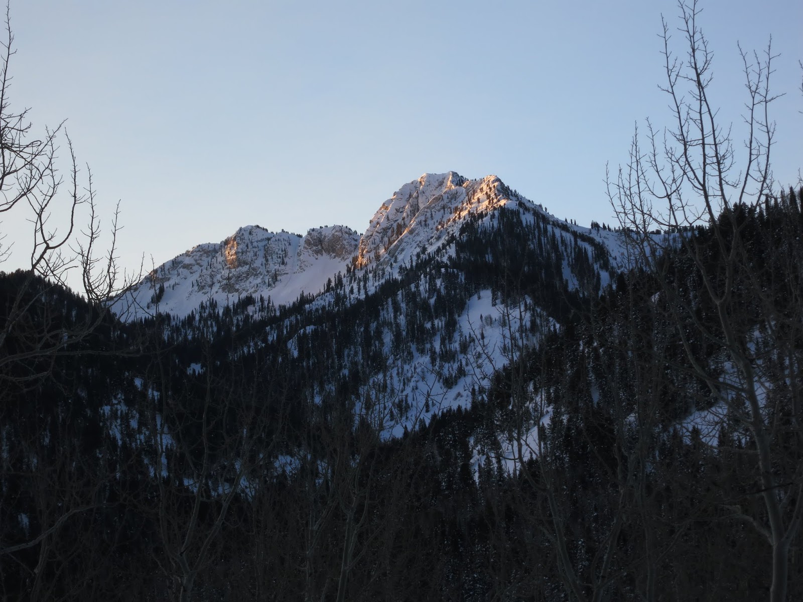
| Cardiff Road about a quarter mile above the Doughnut Falls trail head, and it's getting cold. |
 |
| From the Kessler North Route Trail, Mt. Raymond (hidden by tree) and Gobblers Knob. |
 |
| A dusting of snow on upper God's Lawnmower, the open cut through the trees inflicted by avalanches, and also a great ski run when the snow is stable. |
 |
| Mine shaft just below the Kessler Saddle, part of the Carbonate Mine? |
 |
| View south from Kessler's lower north peak, also known as Reed's Peak. The real summit of Kessler Peak is the high point at upper right. The cable of Snowbird's tram is seen in middle left, reflecting sunshine. |
 |
| Dromedary Peak - 11,107 ft, (l); O'Sullivan or Sunrise Peak - 11,275 ft. (rounded, middle-l); Who-knows? (pointy, middle-r); and Broads Fork Twin Peaks (r) - East 11,330 ft, West 11,328 ft. |
 |
| Mt. Raymond, 10,421 ft., north - across BCC - from Kessler. |
 |
| View from Kessler's North Peak, looking at Reynolds Flat and the Doughnut Falls trail head way below. |
 |
| Dead tree over Cardiff. |
 |
| View east, the jagged near ridge is Reed and Benson Ridge that divides Cardiff and Days Forks. |
 |
| Another dead tree over Cardiff. |
 |
| View SW over Mineral, Mill D and Broads Forks, with Dromedary, O'Sullivan and Twin Peaks on the skyline. |
 |
| Kessler East Couloir, just north of Kessler Peak, dropping into Cardiff Fork. |
 |
View south from Kessler over Carbonate Pass and Cardiac Bowl. Peaks (l-r): Baldy, Hidden, American Fork Twins, Superior (high point above Cardiac Bowl), Monte Cristo and the Little Cottonwood ridge-
line leading over to Dromedary on the far right. |
 |
| Little Cottonwood ridge-line and Dromedary and O'Sulivan Peak (Sunrise Peak) at right. |
 |
| Broads Fork Twins. |
 |
| Obvious reason why I rarely do selfies. |
 |
| Summit of Kessler Peak 10,403 ft. |
 |
| View SW and upper Mineral Fork with Mount Superior - 11,132 ft. and Monte Cristo 11,033 ft., highpoint on the left skyline. Carbonate Pass, the low point on the ridge, is a passage between Cardiff and Mineral Forks. |
 |
| The vertical shaft of the Carbonate Mine, with my foot added for scale. It turns to black 20 feet down and it is scary, black and vertical. |
 |
| Another selfie with the Carbonate Mine. 20 years ago the USFS was sealing the mines in the Wasatch but somehow they missed one of the most dangerous. |
 |
| Just below the Carbonate Mine shaft is the ruin of a miners cabin. You can't tell from the photo but this is on a steep hill and built between three live trees acting as a foundation of sorts, the slope leveled between the trees to make the floor a livable space. It is located just a short way below the ridge between Kessler North and South Peaks. |
 |
| Another view of the cabin showing the steep grade. |
 |
| Cardiff Stream with ice forming. |
 |
| Reed's Peak (north, lower summit of Kessler Peak) highpoint on right, from the Reynolds Flat parking area on the Big Cottonwood Highway.. |
. . . . . . and who says there are currently NO glaciers in the Wasatch?
In upper Hogum Fork I saw this open crevasse (see below) from the summit of the Pfeiferhorn, on September 28, 2005. Yeah, perhaps the creavasse is nothing more than the force of gravity causing the permanent snowfields to creep downhill, and the snow cracks open, I've seen that happen on steep grassy slopes in town with only five inches of snow, but this is where glaciers begin. Frankly I'd love to see a real glacier re-establish in the upper Wasatch, but that will never happen with long-term climate temperatures on the rise.
Several weeks later I went back to the Hogum Glacier (my name for it) to measure the depth and width of this crevasse, but an early winter storm had buried it. I went back the next year to measure it and the snowfield had melted completely. There was no visible snow in this location. I dug into the scree and I found hard ice about a foot under the surface, but one person digging by hand can never move enough scree to determine if that ice was extensive or just a small patch.
The take-away is that the day of glaciers is long gone in the Wasatch Mountains.
 |
| The Hogum Glacier, September 28, 2005. Zoomed view from the summit of the Pfeiferhorn. |
 |
| Hogum Glacier from the summit of the Pfeiferhorn, no zoom. You can clearly see the glacial activity in upper Hogum. The rippled, wavey contours of the scree are the moraines left by retreating glaciers. The boulders falling onto the glaciers tens of thousands of years ago from the ridges surrounding upper Hogum Fork are deposited when and where the glacier melts. No sure why but I am fascinated by this. I love to see the evidence of extinct glaciers all around us. |
 |
| Hogum Glacier from the summit of the Pfeiferhorn, half zoom. |


