 |
| Today was the first time I drove all the way up North Canyon since last spring. |
 |
| Meadows just below Kara's Pot Farm (KPF). |
 |
| The 'Three-Nephites' over the drainage in KPF. Kind of tricky on skis when the logs are not covered. |
 |
| Busy as a beaver . . . |
 |
| Oak brush and shorts, not the best combo. |
 |
| The snow-stake (rock) completely free of snow. |
 |
| Approaching Rudy's. |
 |
| Rudy's Flat |
 |
| 23 inches. |
 |
| Altimeter is quite accurate . . . blood from my fight with Gamble Oak. I lost. |
 |
| Coyote slipping on the hard pack on a 38 degree slope. |
 |
| Douglas Fir is easy to spot by their cockroach tails. |
 |
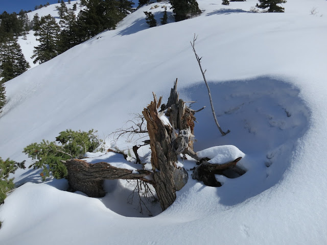
| Dead tree in Dead Tree Bowl, Antelope Island beyond. |
 |
| Tree-rock in the Mahogany where the summer trail tops out on Bountiful Ridge. |
 |
 |
| The top of Scott Cutler's Yellow Coat. Most years one must down climb the rocks to start skiing, This year it was ski-able from the top, first time in about five years. |
 |
| Tree wells everywhere, now even more pronounced with the melting snow. |
 |
| Dead downed tree on Rectangle North. |
 |
| Tracks on upper Rectangle Run. |
 |
| Heading up for run #2. Down on right, up on left. |
 |
| Cornice over Rectangle Bowl, City Creek Canyon and SLC. |
 |
| Yeah, not too happy at this moment due to the almost-lost drone, but it all turned out OK. |
 |
| City Creek Canyon and the central Wasatch beyond. |
 |
| (L-R) Gobblers Knob, Millicent, Raymond, Superior, Monte Cristo, Dromedary, Broads Fork Twins, Thunder, Olympus, Lone Peak, with many unnamed peaks in between. |
 |
| (L-R) Sessions, Big Black, Burro Mine, oh and my skis. . . . |
 |
| (L-R) northern tip of Antelope Island, Raft River Mtns (barely seen in upper left), Promontory Point, Ben Lomand, Thurston, Francis Bountiful Peak. |
 |
| For all the hiking I do over rocks and logs, these skis are in amazingly good shape. |
 |
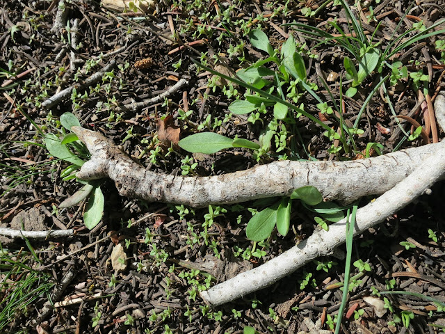
| Spring is here when the grass turns green at 7,100 feet. . . |
 |
| Another month and I'll be riding this. |


No comments:
Post a Comment