|
| The gate at the bottom of the canyon is still closed so I had to ride the moto up Farmington Canyon. I'm short (5'8" on a good day) and my Yamaha is tall, requiring me to tip-toe at every stop, so getting around the gate was tricky. The road was dry up to about the Sheriff's cabin which is a mile below this spot. I rode up to here in the slush and the Motorcycle handled it much better than expected and lost traction just a few times, but no crashes. This is the upper parking lot where we use to drive to in my truck for great skiing, but that is no longer an option with the canyon gated and locked during the winter. This place is better known as the "Y," not for the the school in Provo but for the junction in the road, one side leading to Francis Peak, the other to Bountiful Peak. Not wanting to leave my motorcycle here because it is way too visible here - it's fairly light (260 lbs) and two rednecks to could easily lift it into a truck and drive away - so I turned around and rode back to the Sheriffs cabin where I parked the bike in the pullout, which is somewhat hidden from passing traffic. From there I put on skis and skinned up the Mud/Rice divide to the top of Mud/Rice Peak for some skiing. |
 |
| Yeah, who am I joking? My moto is not too well hidden here but I figure the thick-neck/small-brains of the world would drive by at 80mph and not even see the bike. Yes, I'm a wee bit paranoid, but the canyon is not well traveled this time of year with the gate locked, but enough people do have keys (cabin owners) that they might be emboldened to do things (steal motos) if they think they aren't being watched. |
 |
| Committed now with my skis on the opposite side of the stream, so I had to cross. I tried the log but it was so slippery I figured I would fall off and into the water that I eventually decided to wade the stream. I tightened my ski boots to "full pain" level and with my boots so tight very little water leaked in. That said, on the way out I didn't bother to torque the buckles and my boots totally filled with icy water, with my toes blue and numb when I got to my bike. With dripping soaked socks, and a 20 mile drive on a motorcycle, I removed my socks to avoid hypothermia, and it worked. |
 |
| But I get ahead of myself. this is from the bottom of Rice Creek drainage and I've got about 1,800 feet of vertical skinning to reach Rice Peak. |
 |
| Bountiful Peak from the Mud/Rice divide about 2/3 the way up. |


 |
| Awww, always exciting to enter the upper Rice Bowl(r) or Mud Bowl (l). I have grand memories of skiing both. |
 |
| A small cornice-drop slide. Those small trees just below the ridge are total survivors, they have endured years of cornice falls, wind and heavy snow. Although, this year looks like it was tough on them, they have been stripped nearly bare of branches and they are bent down and almost buried. |
 |
| Big cornice above Mud Bowl. |


 |
| Looking over Rice Bowl. |
 |
| looking for the best the access through the drift. |
 |
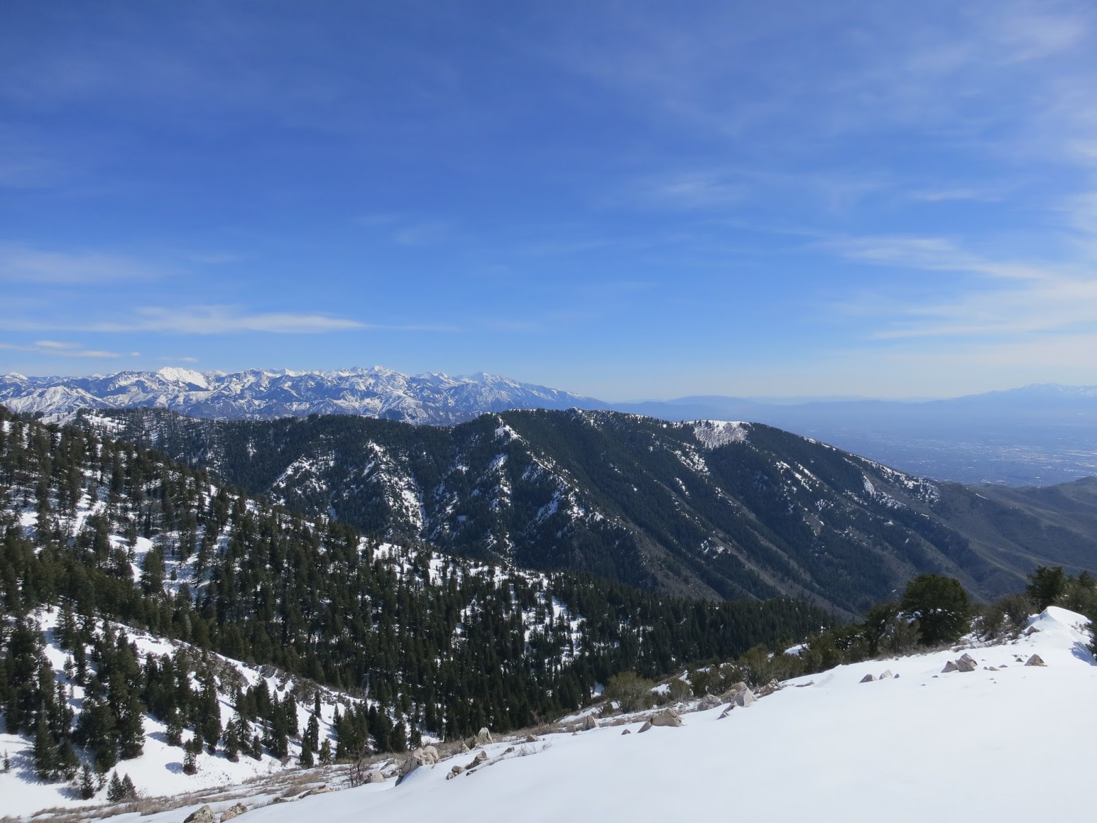
| On top and taking in the view south toward Bountiful Peak. |
 |
| Bountiful Peak under heavy snow. |
 |
| Antelope Island, which is no longer an island. Farmington Bay is mostly just a mud-flat. |
 |
| View SW towards the Oquirhs and the Stansbury Mountains beyond. |
 |
| I unintentionally set off a small wet-slide with my first turn off the top of Mud Peak and then this larger wet-slide broke out about 1/3 the way down Mud Bowl. I could hear it sliding so I cut left to get out of the way and then watched it slide another 400 feet down the bowl. This is the debris pile where it stopped and looks to be about 10 feet deep. |
 |
| My skin track up the final head wall. Rice Bowl on the right, Mud on the left (mostly out of view). |
 |
| My ski tracks and the small wet-slide I set off with my first turn off the top of Mud Peak. |
 |
| Ski tracks and wet slides, full view. |
 |
| I can't explain it but I love the beaver damns in lower Rice Creek drainage. |
 |
| Two wet slides, enough of a hint to leave. Too unstable to be skiing alone. |
 |
| Long ride home in wet socks, so I took them off. The forest service dude I met up here said he was going to unlock the lower gate today but he didn't because he thought the road was still too snowy. I rode the moto all the way to the Bountiful Peak junction with no problem, so he was being super cautious. That said, the kids of the world need all the protection they can get, so good call USFS dude. He said it would be unlocked this Friday, May 5, 2017. |