Tuesday, February 21, 2012

BC Skiing, Mill D North, Powder Park, February 17, 2012


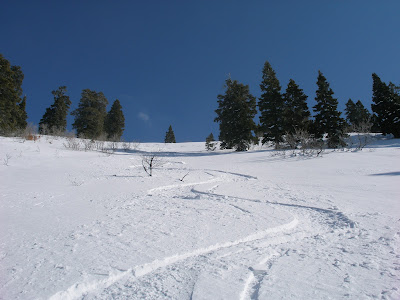
Kind of a black and white day. Good skiing on the NE aspects, sun crusts on the SW. I've been spoiled by skiing the lonely slopes of Davis County the last few years. Few are willing to brave the long approaches and trashy accesses (brush), so I’m use to calling the shots: setting the skin track and skiing virgin slopes totally alone. In my world there are no other tracks, to the point that I’ve become a territorial snob. Some things are just not allowed, but we’ll get to that . . .


With the challenging snow year we’ve had, tougher on the lower elevations of my usual haunts, I've had to ski the Central Wasatch (LCC, BCC, MC) more this year than I typically do. I’ve skied Powder Park plenty, but it’s still a shock to see a skin track ten-feet wide and solid enough that the ‘Bubba’ up the street could drive his Hummer to Dog Lake. No chains required. Yes, I’m a skin track snob.

But I digress, bad cliches aside, a day skinning and skiing is always better than work. Better yet when the wife joins you. Don’t think so? You need a new wife! (Or a new job.) Powder Park is intermediate skiing, at best, but a good place for relaxed cruising and easy ascents. Not the most exciting skiing, but we all need a down day here or there.


View south, towards Cardiff Fork.
 

Desolation meadows, Powder Park hidden on the lee of the bald knob.


Still not a lot of snow at 8,300 feet. Sign should be 6-feet under this time of year.


Kara is a much better athlete than 'Moi'. For all the work I put in to my fitness, daily lunch runs and all, she seems unfazed on the climbs even with weeks between workouts. She’s a career nurse and just doesn’t have the time for daily workouts. Neither do I really, but I’m a sworn underachiever and my career path shows it, for every day at noon I go trail running. Rain or shine, promotions be damned, I go run. Don't get me wrong, I do work long hours, but no one notices that you're at the PC, slaving at 8pm, when they've all blitzed at five. What they 'DO' notice is that you're not going to lunch with the "team".  Oh well, I come back from my runs happy and energized. A proven formula, sans chugging a gallon of Diet Coke in the afternoon. Anyway, if Kara could run each day, she’d be competative with the Spaniards, and they’re not Grandmas!

So we ski laps in Powder Park, but after a couple of hours I can tell she’s limping in her ski boots. When pressed she finally admits that her bad foot, a surgically repaired foot, is killing her. So we cut it short and ski down the ‘Hummer Run’, back down Mill D North, back to the truck at the Spruces. We find out later she has a severe stress fracture. I feel kind of bad for pushing so hard. 

Soapbox:  What’s up with SLC skiers urinating in center of the skin track? I counted seven pee holes, bulls-eye center. And don't make assumptions, this was not canine pee. Dogs have more class and at least look for a tree. Can you get Chlamydia from frozen urine? I'm not taking chances - skins are currently at the dry-cleaners. The price you pay for following the herd.
Funny side-bar: about 20 years ago we had a family reunion at a nearby campground and my young son was harshly reprimanded by his Aunt for "spitting" on the ground in the SLC watershed. Good thing she doesn't ski. If she only knew . . .

Monday, February 6, 2012

BC Skiing, B-Town Ridge, February 5, 2012


Black's Peak from top of Rectangle Peak (8,400 ft.).

What a strange winter. Jackson has more snow than Alta, and even a consistant under-achiever like Sun Valley has more than Park City; no one has much to brag about.

My local, “private hill”, was un-skiable until the storm cycle of January 20-24. So lean in fact, I could run to the Rudy’s Flat (7,130 ft.) - in running shoes - on January 14th, and found only 14 inches of snow. In January of ’11 there was 52 inches. R.F. is the staging area for skiing Bountiful Ridge. The ridge has an endless array of drainages and bowls, the only limiting factor is one’s energy to hike in and hike out. The runs start out short and steep but get progressively longer the further one hikes the ridge; anywhere from 500 vert. to 2,000 vert. However, there are barriers to entry. The BIG drawbacks to B-Town Ridge are: (1) Long approach – five miles and 3,000 foot gain - one-way - to the nearest and shortest lines; (2) Brush! Trailhead is at 5,500 feet – oak brush city!; and (3) no easy way out. For the bigger lines, one must traverse several miles of the ridge, approach your line from the top, and thereby dropping in blind as far as stability and snow quality go. Further, the big lines are surprisingly remote considering the smog and drone of traffic of SL and Davis Counties are never out of eye or ear shot. But don’t let the humanity fool you, they are remote and they are a locked system. There is no easy way out. Once skied, a run must be re-ascended, back to the approach ridge, which must then be re-traversed-down to regain the approach trail. Simply put, the big lines are literally locked-in by brush on the lower reaches. I tried it once and won't make that mistake again! That is, I hiked out via  Mueller Park, and it was like Indy Jones in the Amazon jungle - but with snow - and shredded a nice pair of ski pants, lost two pints of blood, and sacrificed a pair of skis. Then had to walk 4 miles along the golf course to retrieve my truck. Dripping blood, skis on pack, torn trousers, and walking in ski boots, I got plenty of weird looks from joggers, golfers and dog-walkers. In comparison, re-ascending the ridge is easy.

Go east young man, but no easy way out, and no swearing at WPBG's!
The upside is good snow, steep lines and few people. Believe me, I count ski tracks like Rain-man watches Wapner, and, if not skiing it, I scope that ridgeline daily. Other than a few strays here and there, I am one of two skiers who hit it regularly. The other guy never ventures much past the shortest hills. Smart guy to minimize the ridge-traverse. He probably studied at Stanford or Yale. Me? I got an accounting degree from a state school (University of Utah). Explains a lot. Although, he was obviously NOT on the Dean’s list: sane skiers are too smart for the two hour, bush-whack approach just to do laps on a 700 foot hill.
 
Crust and oak-brush, but you could be fighitng for parking at Alta, Mill-D or Teton Pass.
Another thing: although it’s low elevation, between 7,000 and 9,400 feet, it’s blessed with lake effect snow. It doesn’t get the dumps of Little or Big Cottonwood Canyons, but it can hold its own against the Park City side of the range. I’ve skied into June and, long ago, as a teenager, I stumbled across a remnant snowfield in late October, at the 9,000 foot contour, still holding on from the previous winter. Permanent snowfields are common in Utah above 10,000 feet, but very rare below that line.  

Stats, February 5, 2012:
Start elevation: 5,550 feet.
High Point: Rectangle Peak, 8,400 feet.
Miles: 11 total (out and back + 2 runs).
Elev. Gain: 4,100 feet.
Snow Depth at R.F (7,150 feet): 34 inches.
Snow Depth mid-slope of Rectangle Peak (8,000 feet): 51 inches.
Conditions: can you say crusty? Hard, grabby crusts ruled the day, but a few creamy turns were found in the Douglas Firs way off the ridges.
Bonus material: A new approach was explored, N. Fork of N. Cyn. Probaly a bit longer but worth it due to less brush in the lower canyon.


B-town.

First run, 700 vert, 38 degree slope.


Sunday, January 15, 2012

Rudy's Flat, January 14, 2012

Hiked to Rudy's Flat today with Kara. A beautiful, sunny day with beautiful company. The only thing lacking was skiable snow! The Mountain Mahogany still rule the slopes!!

Route: from the end of the pavement, up North Canyon to the Mueller Park-North Canyon Trail, then up the switchbacks to Rudy's Flat. Conditions were icy in lower canyon, due to melt/freeze cycles and way too many 4x4''s (bring back the gate!), to soft-pack snow at Rudy's.   

Stats:
Elevation at TR - 5,550 feet.
Elevation at Rudy's Flat - 7,130 feet.
Elevation Gain -  1,580 feet.
Total Distance - 7.27 miles.
One-way distance to Rudy's Flat - 3.65 miles.
Distance from end of pavement to end of double track - 1.27 miles.
Distance from start of single track to Rudy's Flat - 2.38 miles.
Total snow on ground at Rudy's Flat - 12-14 inches.
Total snow on ground at Rudy's Flat January 2011 - 52 inches.
Where's Art Fisher when you need him?


Beauty and the bald-headed freak!

Cougar? Cat's stalk from behind, right? I walked in front from this point. Such a man!


BC Skiing, Silver Fork, January 13, 2012

From Solitude ski resort, I skinned up Silver Fork to ski the SF-Meadows, typically prime, Wasatch powder country. I picked the Solitude approach due to the rapidly disappearing snow on the southern aspect out of Alta. Even so, with the non-existent snow pack of '11-'12, today's outing was a mixture of sagebrush, where I normally set - or follow - a skin track, to steep icy skinning, to fun, re-crystallized powder.  To be honest, it was some of the worst skinning of my life: the track was way too steep (SLC skiers!) and bullet proof ice due to sun and over-use. My skins struggled to find purchase, with multiple ACL-wrenching-backward-slips (and my skins are in great shape!) so I ended up setting a new skin track to the side. The snow was either sun-crusted sugar, or no-crust-rock-based sugar. As I was climbing the reality grew stronger that I'd have to ski this crap to get back out. Needless to say, I wasn't too excited about the descent and kept telling myself I'd just boot down if the skiing was miserable. Hey, my skis might be old, but I still have a heart (my 'A-kit' at home gathering dust).  Once on the Days/Silver divide I pushed south toward Alta and found a more northerly aspect, as opposed to the sun-crusted easterlies and, surprisingly, the snow was good (dumb luck or aspect?) which salvaged the day. I hit one huge rock on the exit run.


What skin track?


The deer hunter forgot his seat (but what a view of Prince of Wales mine!) . . .   
. . . and his survival cache, found another 200 yards along the ridge. At first I thought it was the WPBG privy. I tried opening with my ski pole - to avoid germs - but impatience and curiosity got the best of me, used my gloved hand.  

Meh, they're old . . .

View NW.
Looking down my ski run, only the upper tenth is visible.
Across the way, Solitude's Honeycomb lift is the cut in the trees, upper-mid-left.


Saturday, January 14, 2012

Lunch Run, Mt. Van Cott, January 12, 2012

A quickie. Short, with moderate hills, to get the heart pumping when watching the clock.

Route: from the Williams Building loading dock, north on the Bonneville Shoreline trail to the SW ridge- N Butt of Mt. Van Cott. Follow ridgletts to the summit. Return via Water Tank trail (S face).

Stats: 
Start Elevation 4,970 feet
Summit Elevation 6,340 feet
Elevation Gain 1,370 feet
Distance up 1.47 miles
Distacne down 1.51 miles
Time up 24 minutes
Time down 13 mintues


Mt. Van Cott, just above Univ. of Utah Hospital. Where is the snow? Yes, this was taken on 1-12-12.
 
Mt. Wire, yesterday's run.
 
Smoggy SLC from Mt. Van Cott. Below is my employer (extreme left, mid-height), Rice-Eccles Stadium (sight of 2002 Winter Olympics, mediocre Pac12 football, a great U2 concert last May, and a terrible Rolling Stones concert 12 years ago.
Central Wasatch from Van Cott.


Thursday, January 12, 2012

Lunch Run, Mt. Wire, January 11, 2012

 Mt. Wire from 2nd false summit (1/8 mi. to go). 

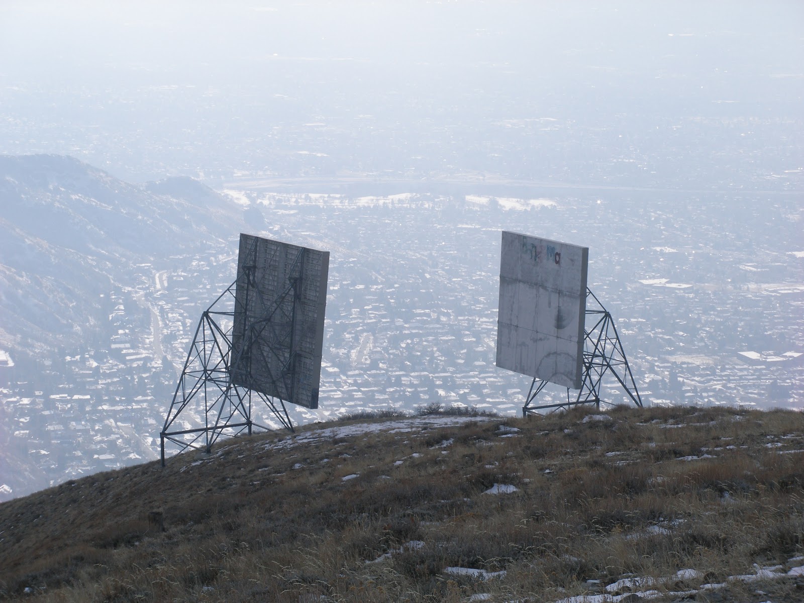
 Microwave boards 1/8 mi. down-ridge from Mt. Wire.
Grandview peak, with the 9K-ft Burro Mine ridge to the left, with very little snow.

 Looking down Georges Hollow from 2nd false summit. SLC below.
The old air-traffic-beacon-tower on  the summit. When my parents were in school, living  in the old stadium village (where Rice-Eccles Stadium now sits), my Mom would see those flashing lights from her window at night as she took care of my screaming older brothers. (the altimeter reading is 45 feet high - glad I'm not flying an F-16 with this thing.)


Why?
I’m going on 50 but my mind is stuck in third grade. I never got past noon-time recess. Getting away from the desk to run the trails, for an hour or so (emphasis on ‘or so’), still works wonders for the body, mind and soul. Plus I'm lucky enough to work at the edge of the Wasatch – quite literally at the edge, where the City ends and the mountains begin. Hmmm, eat a burger with the boss and talk shop, or go trail running in January??

Route:
Start at the loading dock at the Williams Building (NW of the new Utah Museum of Natural History);
- Run .5 mile south on the Bonneville Shore Line Trail to Georges Hollow (drainage due east of Huntsman Chemical);
- Run (1st gear) 1.5 miles up the 'Hollow';
- Run (4wd–low) .6 mile up the ridge (south), over two false summits, to the top of Mt. Wire.
- Reverse the route back to work. Don’t listen to your Ortho; running downhill is good for your knees, my 49.8 year-old knees are proof, and it’s the best ski conditioning on earth.  

With very little snow the trail is still runnable as it has been since last April when the record snows of '10-'11 melted away. A year ago there was 3 feet of snow at the summit, now there is just 6-10 inches, and only on the northern aspects.

Stats: 5.2 miles RT from work; 2,160 feet of elevation gain; high point 7,143 feet; low 4,970 feet. Ran 98% (icy on first false summit).

Time: up 43 minutes; down 24 minutes.

Sunday, January 8, 2012

BC Skiing, Grizzley-Wolverine-Patsy 12-23-11


Still skiing on my old Arc Angels due to the thin snowpack. A good thing given the down-climb of a rock-band in Wolverine, with skis on, gave the Angels a bad stone grind.